
Witchford, village and civil parish in Cambridgeshire, United Kingdom
Location: East Cambridgeshire
Website: http://witchford.org.uk
GPS coordinates: 52.38700,0.20600
Latest update: March 6, 2025 05:51

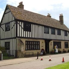
Oliver Cromwell's House
3.8 km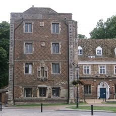
Bishop's Palace Bishop's Palace (the Palace School)
4 km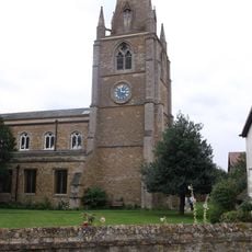
Parish Church of St Mary
3.9 km
RAF Witchford Collection
1.2 km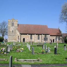
Church of St Andrew
163 m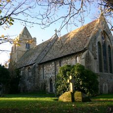
Church of St Peter
2.2 km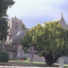
Church of St Peter-ad-vincula
3.6 km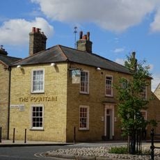
Fountain Public House
3.9 km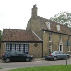
Old Fire Engine House
3.9 km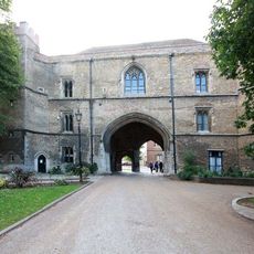
Ely Porta
4 km
St John's Farmhouse
3.5 km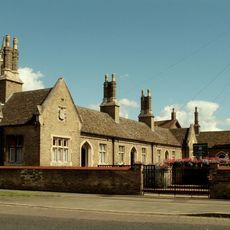
Parson's Almshouses
3.8 km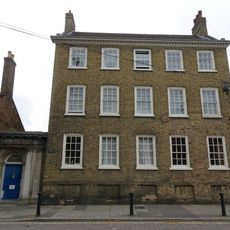
Bedford House, Ely
4 km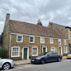
56-60, St Mary's Street
3.8 km
52 And 54, St Mary's Street
3.8 km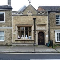
13, St Mary's Street
4 km
89,91,93, Main Street
14 m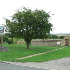
Pound And Lockup
3.4 km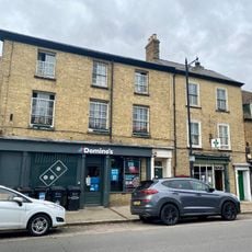
50, St Mary's Street
3.8 km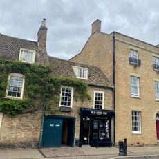
46, St Mary's Street
3.8 km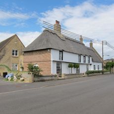
Mansion Farmhouse
3.6 km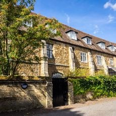
Guest Quarters Of The Monastery
4 km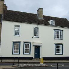
Hill House
3.9 km
The Chantry
4 km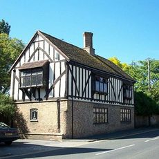
Waterloo House
3.8 km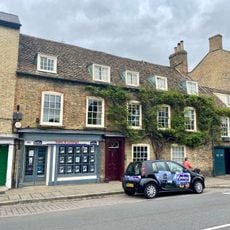
48, St Mary's Street
3.8 km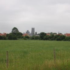
West Fen
3.5 km
Barn And Storehouse Of The Monastery
4 kmVisited this place? Tap the stars to rate it and share your experience / photos with the community! Try now! You can cancel it anytime.
Discover hidden gems everywhere you go!
From secret cafés to breathtaking viewpoints, skip the crowded tourist spots and find places that match your style. Our app makes it easy with voice search, smart filtering, route optimization, and insider tips from travelers worldwide. Download now for the complete mobile experience.

A unique approach to discovering new places❞
— Le Figaro
All the places worth exploring❞
— France Info
A tailor-made excursion in just a few clicks❞
— 20 Minutes