Enable Location

We need your location to show you interesting places around you

Discover nearby places

Find interesting locations and hidden gems around you

Precise directions

Get accurate directions and distances to places

Your location is never shared with other users. It's only used when you tap the location button.

Log in to your account

Start exploring — it's free

Trusted by 61,831 travelers worldwide

Continue with Google
Continue with Apple
or

We will send you a code to connect

By continuing, you accept our Terms and Conditions and our Privacy Policy

Check your inbox

We've sent a pincode in your inbox. Please enter the code below.

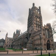
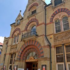
East Cambridgeshire, Administrative district in Cambridgeshire, England.

Description

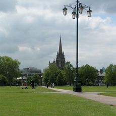
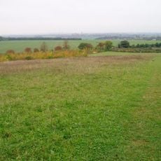
East Cambridgeshire is an administrative district in Cambridgeshire with a predominantly flat landscape shaped by farmland, waterways, and rural villages. The area lies within the Fens, a region defined by its low-lying terrain and water-filled channels that crisscross the land.

History

The district was created in 1974 during a major restructuring of local government in England, bringing together former rural counties and urban areas under a single administration. This reorganization reshaped how governance functioned across the country.

Culture

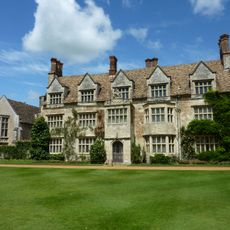
The district's identity is rooted in agricultural traditions, where local markets and community events reflect the working relationship between people and the farmland. These gatherings bring together residents who depend on or take pride in the rural way of life.

Practical

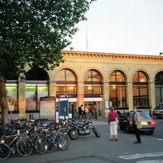
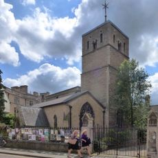
The main town of Ely has regular train links to Cambridge, London, and Peterborough, making travel to and from the district straightforward. A network of cycling paths connects rural villages and makes exploring the area by bicycle a practical option.

Did you know?

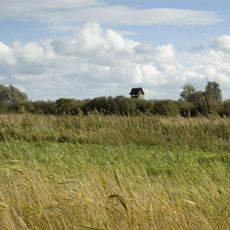
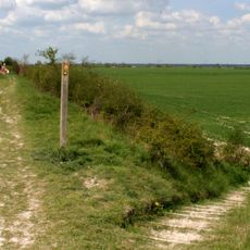
Wicken Fen National Nature Reserve protects a large area of untouched wetland with rare insect species, birds, and plants that have inhabited the site for generations. This place offers a glimpse into what the Fens looked like before modern drainage and agriculture transformed the landscape.

Location
Inception
April 1, 1974
Capital city
Ely
GPS coordinates
52.38700,0.29400
Latest update
December 10, 2025 15:53

AroundUs brings together thousands of curated places, local tips, and hidden gems, enriched daily by 60,000 contributors worldwide. Discover all places nearby (Cambridgeshire).

« East Cambridgeshire - Administrative district in Cambridgeshire, England » is provided by Around Us (aroundus.com). Images and texts are derived from Wikimedia project under a Creative Commons license. You are allowed to copy, distribute, and modify copies of this page, under the conditions set by the license, as long as this note is clearly visible.

Discover hidden gems everywhere you go!

From secret cafés to breathtaking viewpoints, skip the crowded tourist spots and find places that match your style. Our app makes it easy with voice search, smart filtering, route optimization, and insider tips from travelers worldwide. Download now for the complete mobile experience.

Around Us App Screenshot

A unique approach to discovering new places

Le Figaro

All the places worth exploring

France Info

A tailor-made excursion in just a few clicks

20 Minutes

Around Us
Travel Guide & Maps
Download

Send to your phone

QR Code
1

Open the camera app on your mobile.

2

Point at the QR code with your camera. A notification will appear.

3

Tap the notification to open the link.