
Nettleton, village and civil parish in Wiltshire, England
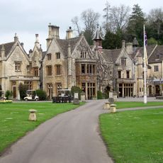
Manor House Hotel
2.3 km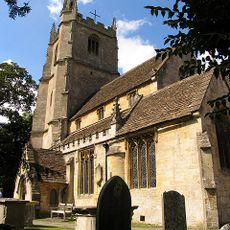
Church of St Andrew
2.5 km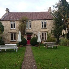
Fosse Farmhouse
1.1 km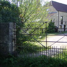
Nettleton Mill
1.6 km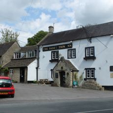
The Salutation Inn
1.8 km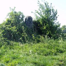
Long barrow 500m north of Lugbury Farm
948 m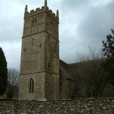
Church of St Mary
1.3 km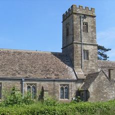
Church of All Saints
1.9 km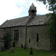
Parish Church of St Mary
2.6 km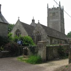
Church of St Mary
933 m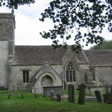
Church of St James
3.6 km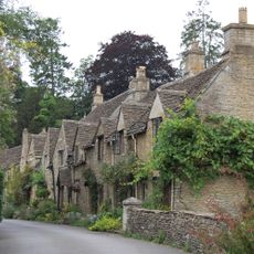
House Adjoining Manor House Hotel Entrance Gates
2.4 km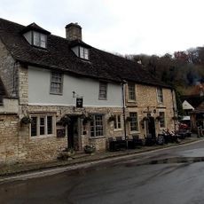
The Castle Hotel
2.5 km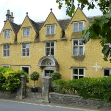
The Dower House
2.5 km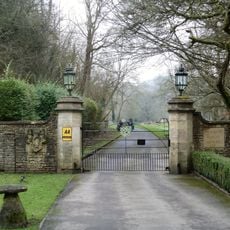
Entrance Gates And Wall To Manor House
2.6 km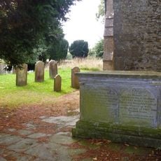
Isaac Family Chest Tomb; Immediately To West Of South Porch Of Parish Church Of St Mary
2.6 km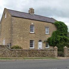
2, Luckington Road
2.7 km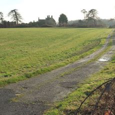
Barn About 20 Metres South West Of Old Warren Farmhouse
3.2 km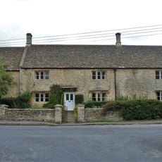
Hollybush Farmhouse
2.5 km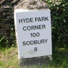
Milestone On B4039 About 45 Metres East Of Junction With Lane To Littleton Drew
1.5 km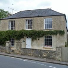
Chestnut House
2.5 km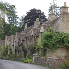
1-3, West Street
2.4 km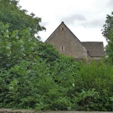
Barn, 10 Yards To South East Of Hollybush Farmhouse
2.5 km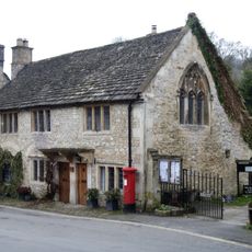
House To North Of Market Cross Cottage
2.5 km
Medieval market cross immediately east of St Andrew's Church
2.5 km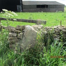
Milestone, Rushmead Farm, Tormarton Road
4.9 km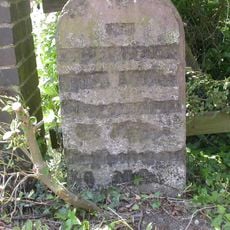
Milestone, Station Road at ST8087181287
3 km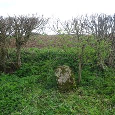
Milestone, E of Newhouse Farm
3.3 kmVisited this place? Tap the stars to rate it and share your experience / photos with the community! Try now! You can cancel it anytime.
Discover hidden gems everywhere you go!
From secret cafés to breathtaking viewpoints, skip the crowded tourist spots and find places that match your style. Our app makes it easy with voice search, smart filtering, route optimization, and insider tips from travelers worldwide. Download now for the complete mobile experience.

A unique approach to discovering new places❞
— Le Figaro
All the places worth exploring❞
— France Info
A tailor-made excursion in just a few clicks❞
— 20 Minutes