Thames Head, River source in Cotswolds, England.
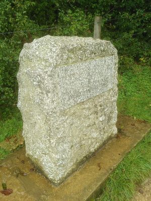
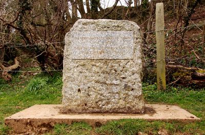
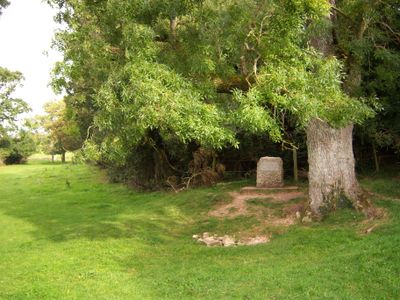
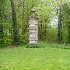
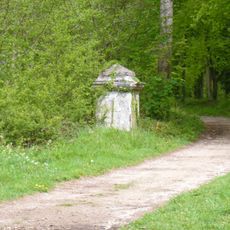
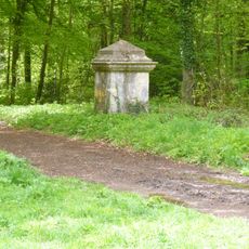
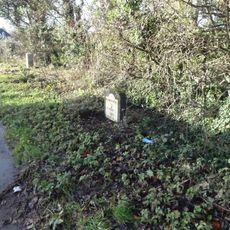
Thames Head is a river source in the Cotswolds where seasonal springs emerge near the villages of Coates and Kemble, located on either side of the A433 road. The site consists of a damp hollow in an agricultural field, with a stone marker indicating the official start of the watercourse.
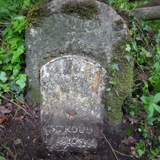
The location was first documented as the origin of the Thames in 1546 by antiquarian John Leland. The stone marker was added later to make the spot clearly identifiable for visitors and researchers.
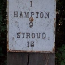
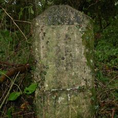
The stone marker carries an inscription marking the beginning of England's longest river and forms part of a long tradition of making sources visible to walkers. Visitors often follow the path winding through pastures and use the spot as a symbolic starting point for longer tours along the watercourse.
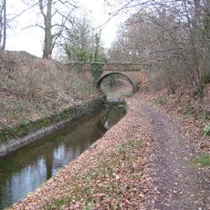
Access to the source involves a roughly half-hour walk from Kemble village along the Thames Path National Trail through agricultural fields. The ground can be muddy in wet conditions, so sturdy footwear is advisable for crossing the pastures.
During the 2022 heat wave, the source completely dried up, causing the actual beginning of the river to shift temporarily about five miles downstream. This phenomenon shows how sensitive even large rivers can be to extreme weather conditions.
Location: Cotswold
Made from material: stone
Operator: Conservators of the River Thames
Address: Trewsbury Rd, Coates, Cirencester GL7 6NY, UK
GPS coordinates: 51.69452,-2.02968
Latest update: December 13, 2025 18:31
Alfred's Hall
3.7 km
The Wild Duck Inn
3.3 km
Church of St Matthew
1.7 km
Tarlton Church
2.3 km
Kemble War Memorial
2.7 km
Anglican Church Of All Saints
2.7 km
Queen Anne's Monument
3.4 km
Stone Pier At Ngr Sp 0060 0223
3.7 km
Tarlton Bridge
1.5 km
Pope's Seat
3.4 km
Barn To North West Of Church Farmhouse
1.7 km
Round Tower At Ngr So 9971 0253 And Attached Wall
3.4 km
Stone Pier At Ngr Sp 0020 0234
3.5 km
Milestone
3.1 km
Sapperton Canal Tunnel
1.8 km
Stone Pier At Ngr Sp 0019 0229
3.5 km
Ivy Lodge At Ngr So 990o26 And Attached Farmbuildings And Wall
3.2 km
Bledisloe
1.3 km
Railway Bridge Approximately 110M South Of Kemble Station
2.2 km
Milestone
2.3 km
Milestone At Ngr So 994 017
2.6 km
Milestone At Ngr Sp 010 010
3.4 km
Cemetery Wall, Railings And Gates
3.8 km
Stone Pier At Ngr Sp 0061 0229
3.8 km
Milestone
1.8 km
Milepost, by "Bailey Lodge" opp. Deer Park School
3.4 km
Milestone, Three Mile Bottom; opp. Four Mile Lodge"
3.1 km
Milestone, Jackament's Bottom; 50m N farm entrance
2.5 kmVisited this place? Tap the stars to rate it and share your experience / photos with the community! Try now! You can cancel it anytime.
Discover hidden gems everywhere you go!
From secret cafés to breathtaking viewpoints, skip the crowded tourist spots and find places that match your style. Our app makes it easy with voice search, smart filtering, route optimization, and insider tips from travelers worldwide. Download now for the complete mobile experience.
A unique approach to discovering new places❞
— Le Figaro
All the places worth exploring❞
— France Info
A tailor-made excursion in just a few clicks❞
— 20 Minutes