Hembury, Iron Age hillfort near Honiton, United Kingdom
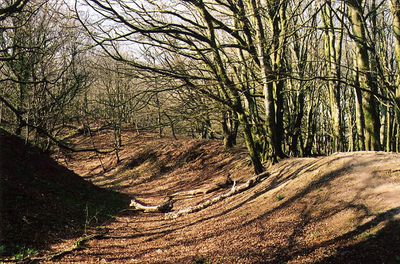
Hembury is an Iron Age hillfort on a ridge in the Blackdown Hills in Devon, overlooking the River Otter valley. The site is enclosed by three earthwork ramparts arranged in sequence, with ditches between them forming a layered defensive system around the hilltop.
The site was first occupied in the early Neolithic period, as shown by pottery and tools found during excavations led by Dorothy Liddell in the 1930s. The Iron Age ramparts and ditches were built over this earlier settlement many centuries later, adding a new layer to the site's long story.
Hembury gives its name to a style of early Neolithic pottery known as Hembury ware, made from clay sourced from the Lizard Peninsula in Cornwall. Fragments of this pottery have been found here and at other sites across southwest England, pointing to connections between early communities across long distances.
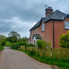
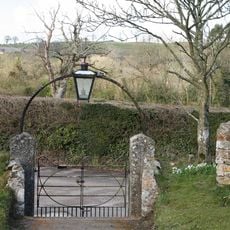
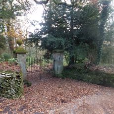
The site is accessible on foot via paths that pass through the surrounding farmland and woodland. The slopes can get slippery after rain, so sturdy footwear is a good idea, especially for the steeper sections.
Surveys carried out in 2016 using magnetic gradiometry and earth resistance techniques mapped hidden features inside the fort without any digging. This approach revealed details of the internal layout that would likely be lost forever if the ground were opened up by excavation.
The community of curious travelers
AroundUs brings together thousands of curated places, local tips, and hidden gems, enriched daily by 60,000 contributors worldwide.