
Ford, village and civil parish in Shropshire, England
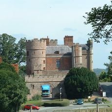
Rowton Castle
3.7 km
Preston Montford
2 km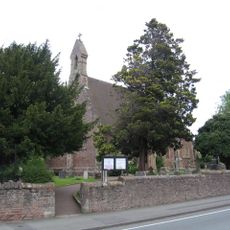
Christ Church Shelton and Oxon
4.5 km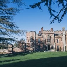
Rowton Castle
3.7 km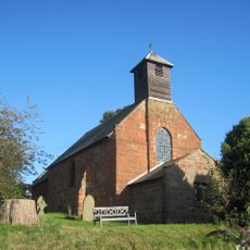
Church of Saint Mary
2.3 km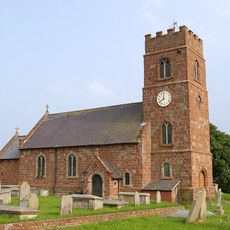
Church of Saint Chad
1.2 km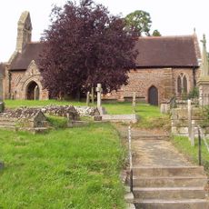
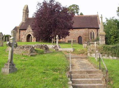
Church of St Michael
351 m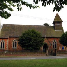
Church of St Thomas
4.9 km
Church of St Michael
2.3 km
Holy Trinity Church
4 km
Church of the Holy Trinity
3.6 km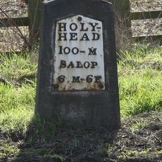
Milestone Approximately 460 Metres To South West Of Beam House Farmhouse
4.2 km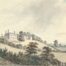
Dinthill Hall
1.6 km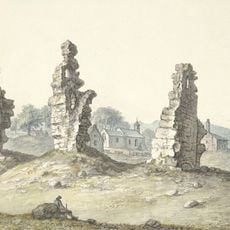
Shrawardine castle and settlement remains
2.3 km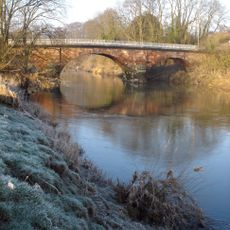
Montford Bridge
2.4 km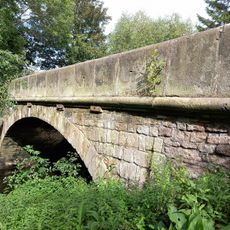
Hanwood Bridge
4.8 km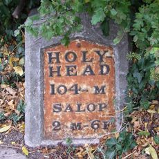
Milestone Approximately 160 Metres To South East Of The Four Crosses Public House
4.2 km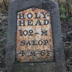
Milestone Approximately 125 Metres To South Of Forton Cottage
2.4 km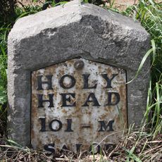
Milestone Approximately 310 Metres To South East Of Ensdon House
3 km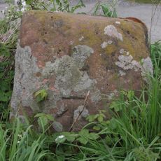
Benthall Cross, Remains Of
1.4 km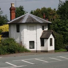
The Round House
2.5 km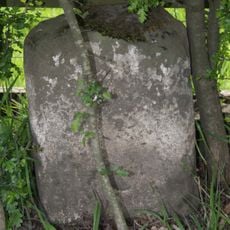
Milestone, Stoney Stretton
4.9 km
Milestone Approximately 45 Metres To West Of Stockfield
2.9 km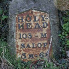
Milestone Approximately 350 Metres To North West Of Bicton House
2.9 km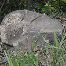
Milestone, Cruckton (N)
3.4 km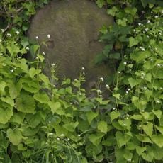
Milestone, Nox Bank
3.1 km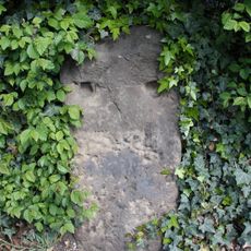
Milestone, S of Rea Brook Bridge
4.9 km
Milestone, S of Plealey turn
6 kmReviews
Visited this place? Tap the stars to rate it and share your experience / photos with the community! Try now! You can cancel it anytime.
Discover hidden gems everywhere you go!
From secret cafés to breathtaking viewpoints, skip the crowded tourist spots and find places that match your style. Our app makes it easy with voice search, smart filtering, route optimization, and insider tips from travelers worldwide. Download now for the complete mobile experience.

A unique approach to discovering new places❞
— Le Figaro
All the places worth exploring❞
— France Info
A tailor-made excursion in just a few clicks❞
— 20 Minutes