Edlingham Castle, Medieval fortification in Edlingham, England
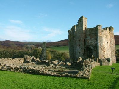
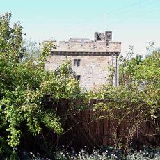
Edlingham Castle consists of stone ruins with a hall house featuring octagonal corner towers and a separate solar tower positioned beside a stream. The layout remains clear, showing how the different sections once connected and what purposes they served.
A manor house was transformed into a fortified stronghold in the 14th century under William de Felton while warfare between England and Scotland created danger in the region. This conversion was a direct response to growing threats.
The castle shows how daily life in Northern England shifted during medieval times and how buildings adapted to these changes. Residents built first for comfort, then for safety, and this evolution appears in the stone itself.
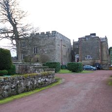
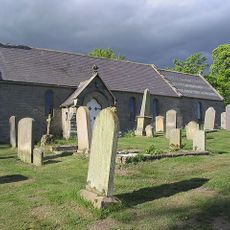
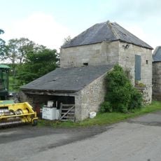
The site is free to visit and accessible during daylight hours without tickets or advance planning. Parking is available at the neighboring church of St. John the Baptist, making arrival and departure straightforward.
The solar tower displays a prominent crack running through multiple floors yet remains stable and stands as the tallest surviving section. This fissure silently records centuries of weathering and time working on the stone.
The community of curious travelers
AroundUs brings together thousands of curated places, local tips, and hidden gems, enriched daily by 60,000 contributors worldwide.