
Holmpton, village in the United Kingdom
Location: East Riding of Yorkshire
GPS coordinates: 53.68466,0.06705
Latest update: March 17, 2025 07:20
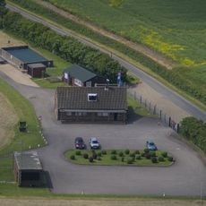
RAF Holmpton
65 m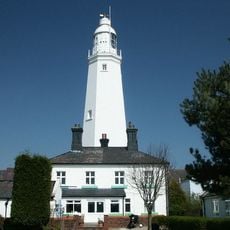
Withernsea Lighthouse
5.7 km
St. Patrick's Church, Patrington
5 km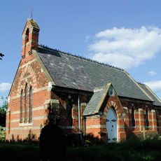
Church of St Helen
8.4 km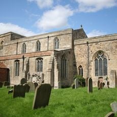
St Mary's Church, Welwick
3 km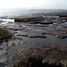
Birstall Priory
4.6 km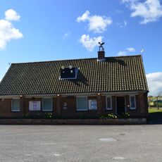
RAF Holmpton - Visit the Bunker
80 m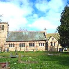
Church of St Nicholas
3.2 km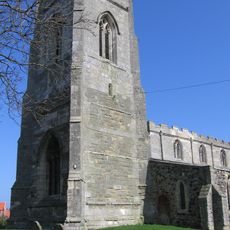
Church of All Saints
5 km
Church of St Matthew
5.7 km
Church of St Nicholas
470 m
Church of St Nicholas
5.3 km
Church of St Germain
6.8 km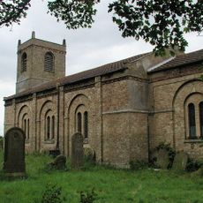
Church of St Mary
8 km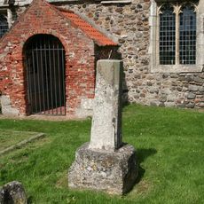
Cross Approximately 6 Metres South Of Church Of St Helen
3.9 km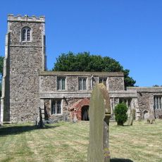
Church of St Helen
3.9 km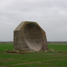
World War I acoustic mirror 335m north east of Kilnsea Grange
7.7 km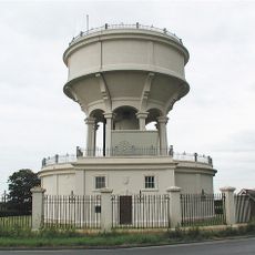
Rimswell Water Tower
7.8 km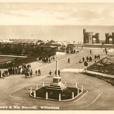
Withernsea Old War Memorial
5.3 km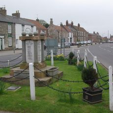
Patrington War Memorial
5.3 km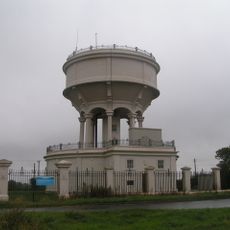
Gate, Flanking Walls And Railings Approximately 10 Metres West Of Rimswell Water Tower
7.8 km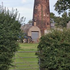
Patrington Mill
4.6 km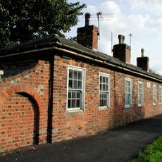
Linsdall's Hospital And Flanking Walls
4.8 km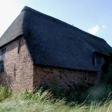
Tithe Barn
5 km
Channel Farmhouse
8.2 km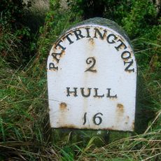
Milestone Approximately 30 Metres North West Of Junction With Winestead Ings Lane
7.8 km
Milestone, Winestead, N of entrance to Manor Farm
7 km
Milestone, Winstead Bridge, 1 mile W of Patrington
6.6 kmReviews
Visited this place? Tap the stars to rate it and share your experience / photos with the community! Try now! You can cancel it anytime.
Discover hidden gems everywhere you go!
From secret cafés to breathtaking viewpoints, skip the crowded tourist spots and find places that match your style. Our app makes it easy with voice search, smart filtering, route optimization, and insider tips from travelers worldwide. Download now for the complete mobile experience.

A unique approach to discovering new places❞
— Le Figaro
All the places worth exploring❞
— France Info
A tailor-made excursion in just a few clicks❞
— 20 Minutes