Ainsty, Historical hundred in North Yorkshire, England
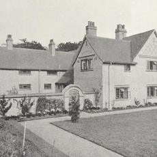
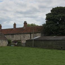
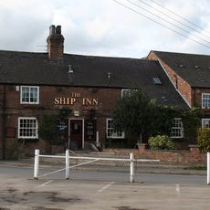
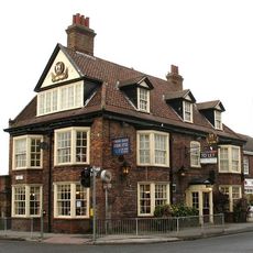
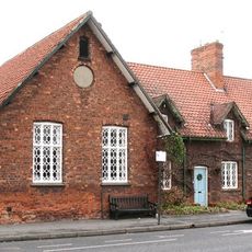
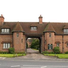
Ainsty is a historical administrative district in North Yorkshire that spans low-lying land between the rivers Nidd, Ouse, and Wharfe, containing numerous small agricultural villages. Today it is managed through parish councils that coordinate local services and community development for residents.
The area was first recorded in 1086 in the Domesday survey as Ainestig, with its name derived from Old English 'an stiga' meaning a narrow path. In 1449 the Corporation of York took control of this rural district and established an unusual governing arrangement.
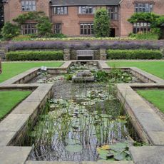
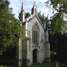
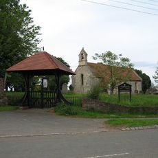
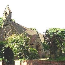
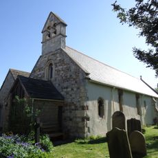
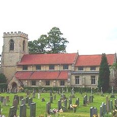
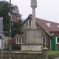
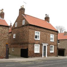
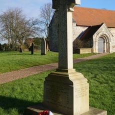
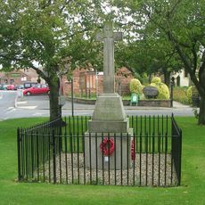
Medieval churches throughout the district display Norman architectural details that reflect the religious importance this rural region held over centuries. Many of these buildings remain in active use today and shape the character of the small villages you find here.
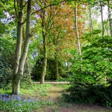
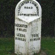
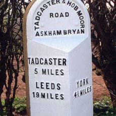
Visitors should know this is a sprawling, flat rural area with scattered villages, so having your own transport is practically necessary to explore it. The best times to visit are the drier months, as the floodplains can become boggy during wetter periods.
Although Ainsty is little known today, it was an important administrative district in medieval times with its own courts and governance structures. The York Corporation retained control over the area even into the 1800s, an administrative quirk rarely seen in England's governmental history.
The community of curious travelers
AroundUs brings together thousands of curated places, local tips, and hidden gems, enriched daily by 60,000 contributors worldwide.