Amounderness, Administrative hundred in Lancashire, England
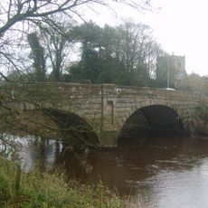
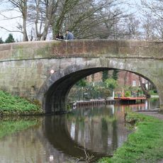
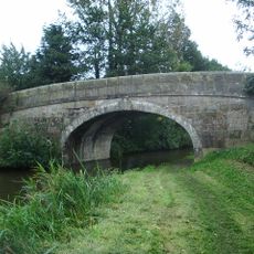
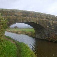
Amounderness is a historic administrative division of Lancashire stretching between the Rivers Ribble and Lune in northwest England. It encompasses multiple modern local authority areas and contains towns and villages spread across a region that extends from coastal plains to moorland.
The area was documented in the Domesday Book in 1086 as territory north of the River Ribble and was initially linked to Yorkshire. It later merged into Lancashire and developed as an important administrative unit with deep regional roots.
The name first appeared around 705 as Hacmunderness, potentially derived from Old English terms for oak and protection or from Agmundr, a Norse warlord.
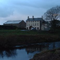
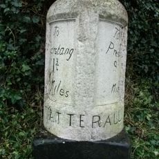
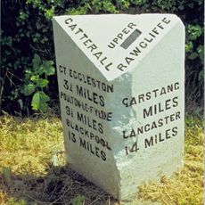
Visitors interested in the area's history and genealogy can find resources in Preston and other towns where local archives preserve parish records and historical documents. Exploring the region means traveling between several modern local authority areas spread across Lancashire.
The area includes The Fylde, previously known as the Wheatfield of Amounderness, with Fairsnape Fell in Bleasdale reaching 1,674 feet above sea level.
The community of curious travelers
AroundUs brings together thousands of curated places, local tips, and hidden gems, enriched daily by 60,000 contributors worldwide.