Angles Way, long-distance footpath in England
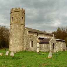
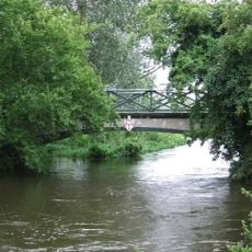
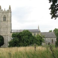
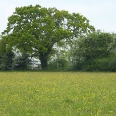
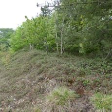
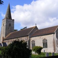
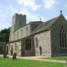
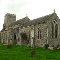
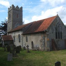
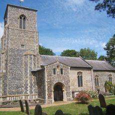
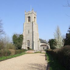
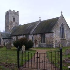
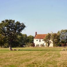
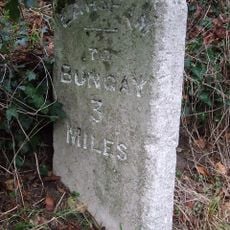
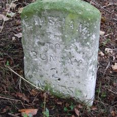
Angles Way is a long-distance walking path in Norfolk that stretches about 77 miles from Great Yarmouth to Knettishall Heath, passing through river landscapes, heathland, and quiet villages. The route follows several rivers including the Yare, Waveney, and Little Ouse and offers a varied overview of Norfolk's landscape from flat river areas to wooded hills.
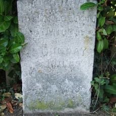
The path was originally created as a roughly 77-mile route connecting Knettishall Heath at its historic junction points with the Icknield Way and Peddars Way. The route was later extended by several miles to Barnham Cross Common and was voted Britain's best riverside walk in 2003.
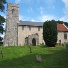
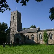
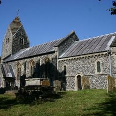
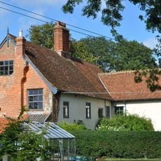
Angles Way is named 'From Brecks to Breyd' and connects two very different landscapes of Norfolk together. The path shows how people have lived and worked in this rural region for generations, from fishing villages by the water to farms in the interior.
The path is accessible by train stations at Great Yarmouth and other towns and can be walked in sections or over several days. Comfortable shoes and plenty of water are important, and it is wise to plan stops in villages along the way since the path has few facilities along its length.
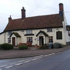
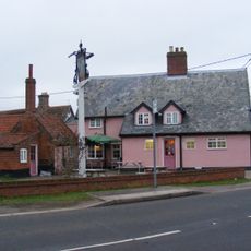
The path connects two very different natural regions of Norfolk and is experienced by many walkers in separate daily stages, with stops at cosy village pubs being a favourite way to end a day of walking. A special appeal lies in the fact that the route is not heavily used and therefore offers a quiet, relaxed setting.
The community of curious travelers
AroundUs brings together thousands of curated places, local tips, and hidden gems, enriched daily by 60,000 contributors worldwide.