
Felthorpe, village in the United Kingdom
Location: Broadland
Website: https://felthorpeparishcouncil.norfolkparishes.gov.uk
GPS coordinates: 52.71621,1.20612
Latest update: May 10, 2025 09:57
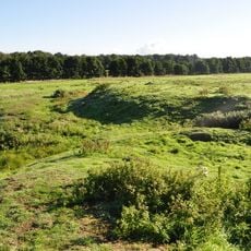
Horsford Castle
4.5 km
St Nicholas' Church, Brandiston
4.3 km
Parish Church of All Saints
4 km
Parish Church of St Edmund
4.2 km
Parish Church of St Margaret
755 m
Church of St Margaret
4.5 km
Church of St Margaret
3.5 km
Church of St Andrew
3.9 km
Parish Church of St Margaret
4.5 km
Parish Church of St Peter
3.3 km
Church of St John the Baptist
4.3 km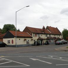
The Red Lion
4.6 km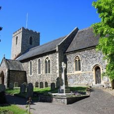
Drayton War Memorial
4.5 km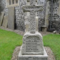
Taverham War Memorial
4.2 km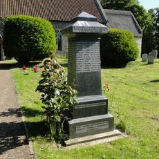
Horsford War Memorial
4 km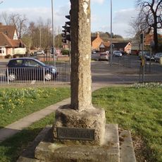
Village cross 160m south of St Margaret's Church
4.6 km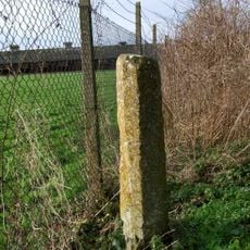
Wayside cross 160m north west of Stump Cross Farm
3.7 km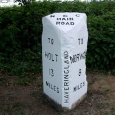
Milepost, c.1/5 mile N of Cherry Tree Farm, between tel. poles 5 & 6
3 km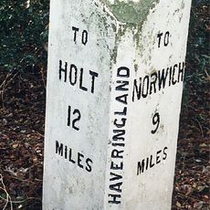
Milepost, c.20yds N of S edge of Great Wood
4.3 km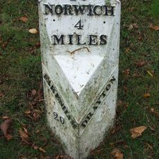
Milepost, 20yds W of jct with Taverham Rd
4.5 km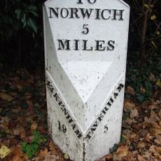
Milepost, Fakenham Road, opp. No. 230
3.5 km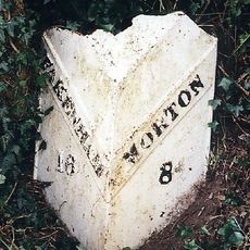
Milepost, 100m N of No. 10 The Street
4.2 km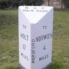
Milepost, 100m S of jct with Drayton Lane
4 km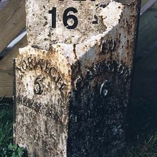
Milepost, N side of The Brickmakers PH
2.7 km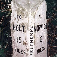
Milepost, 10m N of pull-in/layby
1.5 km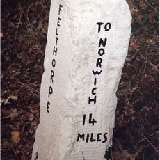
Milestone, Holt Road, opp. No. 24
1.8 km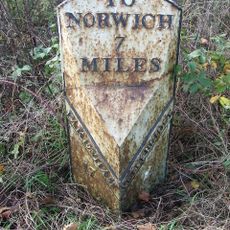
Milepost, 10m N of double metal farm gate into field
3.5 km
Milepost, 60yds S of 47 Cromer Rd
4.7 kmVisited this place? Tap the stars to rate it and share your experience / photos with the community! Try now! You can cancel it anytime.
Discover hidden gems everywhere you go!
From secret cafés to breathtaking viewpoints, skip the crowded tourist spots and find places that match your style. Our app makes it easy with voice search, smart filtering, route optimization, and insider tips from travelers worldwide. Download now for the complete mobile experience.

A unique approach to discovering new places❞
— Le Figaro
All the places worth exploring❞
— France Info
A tailor-made excursion in just a few clicks❞
— 20 Minutes