Ambresbury Banks, Iron Age hillfort in Epping Forest, England
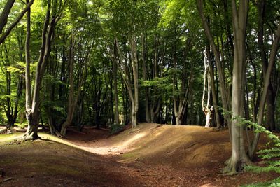
Ambresbury Banks is an Iron Age hillslope fort in Epping Forest, Essex, England, enclosed by an earth bank and a ditch that still run around most of the site. The fort sits on gently sloping ground within the forest, and the bank reaches a noticeable height in several places.
The fort was most likely built around 600 BC, during a period when Celtic tribes occupied this part of Britain. Finds of pottery and flint suggest the site was used over several generations, though its exact history remains partly unclear.
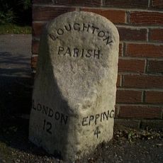
The name Ambresbury is thought to derive from an old word meaning fortified place, which still fits what visitors see today. Locals and walkers treat the site as a natural stopping point during forest walks, and the earthworks are easy to read even without a guide.
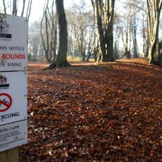
The site is reached on foot via forest paths, and a short walk from the nearest road brings you directly to the earthworks. The ground can be muddy after rain, so solid footwear makes the visit more comfortable.
Although the fort is now surrounded by trees, the land around it was most likely open pasture during the Iron Age, making the bank visible from far away. The forest itself grew up much later, which means the place looks very different today from how its builders would have known it.
The community of curious travelers
AroundUs brings together thousands of curated places, local tips, and hidden gems, enriched daily by 60,000 contributors worldwide.