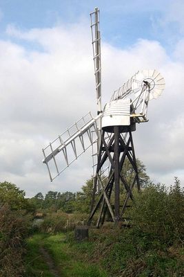
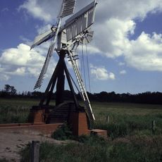
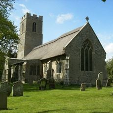
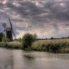
Boardman's Windmill, Drainage windmill in How Hill, Norfolk, England
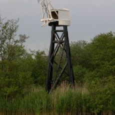
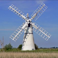
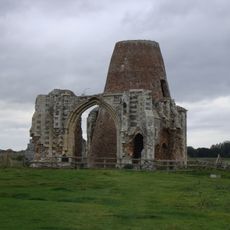
Boardman's Windmill is a drainage mill standing on the east bank of River Ant in How Hill, built from a timber trestle frame with a small cap, sails, and a tail vane for wind direction. The structure's design allowed it to pump water from surrounding marshlands using wind power to drive the mechanical pump.
Daniel England, a builder from Ludham, constructed this mill in 1897 to solve water drainage problems across the marshlands. A gale destroyed it in 1938, but it was later reconstructed and now stands as a record of local engineering solutions.
The mill reflects how people in the Broads depended on engineering skill to survive in wetlands where water management meant the difference between flooded or usable land. The name comes from its owner, and the building itself reminds visitors of the community effort required to keep such areas habitable.
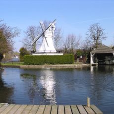
The mill sits roughly 2 kilometers west of Ludham village near the Norfolk Broads Study Centre, making it easy to locate and combine with other visits to the area. The site is open throughout the year, and windy days give the best sense of how the structure functioned.
Only three trestle mills survive in the Norfolk Broads today, and this one shows the rare transition from early scoopwheel pumps to later turbine designs in its original structure. Visitors can see how engineering evolved to handle the specific challenges of draining these particular wetlands.
The community of curious travelers
AroundUs brings together thousands of curated places, local tips, and hidden gems, enriched daily by 60,000 contributors worldwide.