
Bitton, village and civil parish in South Gloucestershire, England
Location: South Gloucestershire
GPS coordinates: 51.42480,-2.46004
Latest update: March 3, 2025 02:43
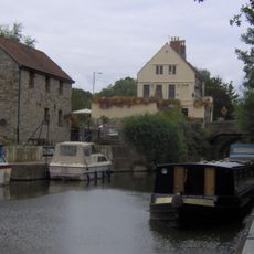
Keynsham Lock
2.3 km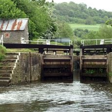
Swineford Lock
1.2 km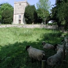
Church of St Martin
2.3 km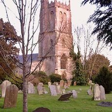
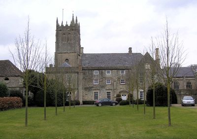
Parish Church of St Mary
312 m
Kingswood Heritage Museum
3.3 km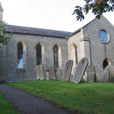
Church of St Anne
2 km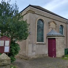
United Reformed Church
1.3 km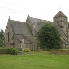
Church of St Bartholomew
3.5 km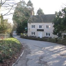
The Upton Inn
1.1 km
Willsbridge Mill
2 km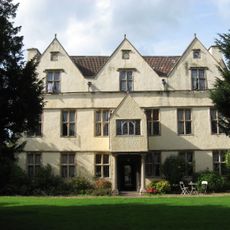
Wick Court
3.6 km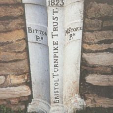
Boundary Post At Swineford Opposite Somerset House
1.2 km
Cold Bath House Approximately 170 Yards To South Of Fieldgrove House
912 m
Rose And Crown
3.8 km
Large univallate hillfort with a bowl barrow and pillow mounds 970m west of The Bungalow
2.9 km
Coach House And Stable To North Of Upton House
1.2 km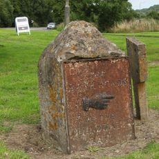
Guidestone At Junction With Bury Lane
4.2 km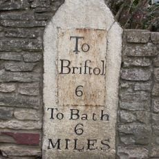
Milestone Opposite Number 116
216 m
Direction Signs At Cross Roads Half A Mile North West Of Beach
2.3 km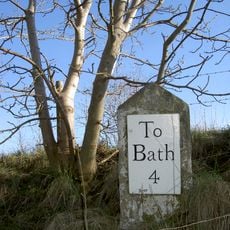
Milestone at National Grid Reference ST 7210 7029
4 km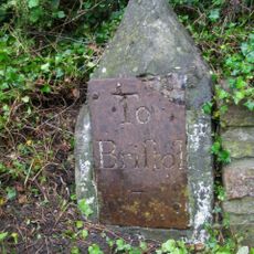
Milestone At National Grid Reference St6929 6889
1.4 km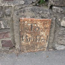
Milestone About 130 Metres West Of The Lawn
3.9 km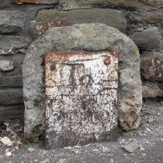
Milestone Immediately West Of Number 63
1.8 km
Roman camp 405m west of The Bungalow
3.4 km
Avon House
2.4 km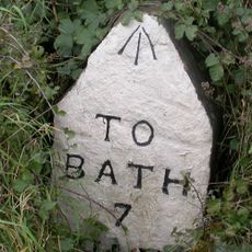
Milestone, West Street, Oldland Common
1.6 km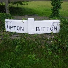
Guidestone, Upton Cheney, N of village at ST6991771034
2.3 km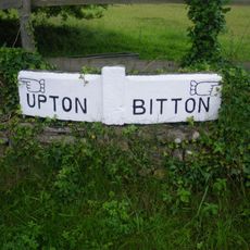
Guidestone, Upton Cheney, N of village at ST6992771100
2.3 kmVisited this place? Tap the stars to rate it and share your experience / photos with the community! Try now! You can cancel it anytime.
Discover hidden gems everywhere you go!
From secret cafés to breathtaking viewpoints, skip the crowded tourist spots and find places that match your style. Our app makes it easy with voice search, smart filtering, route optimization, and insider tips from travelers worldwide. Download now for the complete mobile experience.

A unique approach to discovering new places❞
— Le Figaro
All the places worth exploring❞
— France Info
A tailor-made excursion in just a few clicks❞
— 20 Minutes