Barony of Kendal, Medieval administrative region in Westmorland, England
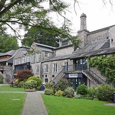
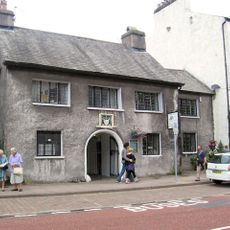
The Barony of Kendal was a medieval administrative region spanning southern Westmorland, encompassing multiple settlements and hamlets positioned between the Shap Fells and Morecambe Bay. Kendal functioned as the central administrative hub for the entire territory.
The territory was granted to Ivo de Taillebois in 1091 and became an important administrative center in northwest England. Over subsequent centuries, the barony underwent divisions that reflected the shifting political landscape of the region.
The administrative structure of the Barony influenced local governance through a system of head courts serving different fees and individual manors.
The region is best understood by using Kendal as a starting point and exploring from there the various settlements that fell under the barony's authority. Keep in mind that this was a historical administrative territory whose boundaries are not visibly marked on the landscape today.
Records of the Barony detail complex land ownership patterns where properties appear under both baronial and individual manor classifications.
The community of curious travelers
AroundUs brings together thousands of curated places, local tips, and hidden gems, enriched daily by 60,000 contributors worldwide.