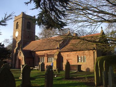
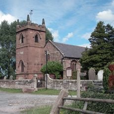
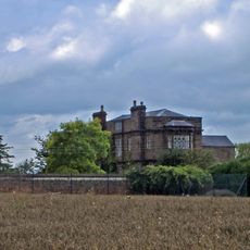
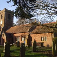
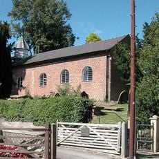
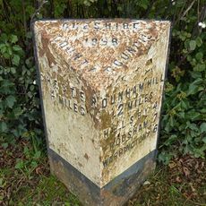
Barrow, civil parish in Cheshire, UK
Location: Cheshire West and Chester
Shares border with: Dunham-on-the-Hill and Hapsford, Tarvin, Ashton Hayes and Horton-cum-Peel, Manley, Mouldsworth, Christleton, Guilden Sutton, Mickle Trafford and District
GPS coordinates: 53.21944,-2.78667
Latest update: March 5, 2025 18:57
St Peter's Church
2 km
Peel Hall
2.3 km
St Bartholomew's Church, Barrow
1.3 km
St John the Baptist's Church, Guilden Sutton
3 km
Trafford Mill
2.8 km
St. Plegmund's well
2.2 km
Vault, tombchest and memorial of the Hurleston family attached to east end of Church of St Peter
2 km
Sundial in the churchyard of St Peter
1.9 km
Number 86 and attached outbuilding
2.8 km
The White House
1.1 km
Town Farm Farmhouse
3 km
Laurel House
2.8 km
Roade House
2.8 km
Sundial in St. Bartholomew's Churchyard
1.3 km
Great Barrow War Memorial
1.3 km
Little Barrow Hall
909 m
76, High Street
2.8 km
West wall and gate of the churchyard of St Peter
2 km
Gates, overthrow and gate piers to the Churchyard of St Bartholomew
1.3 km
The Old Rectory
1.2 km
78 and 80, High Street
2.9 km
51, High Street
2.8 km
Tarvin Hall
2.8 km
Milepost, Tarvin Sands
2.7 km
Milepost, S of Stamford Bridge
2.3 km
Milepost, E of on roundabout jct of A54 & A51
2.8 km
Milepost, S of Ashton Village
2.8 km
Milepost, Trafford Mill
2.9 kmVisited this place? Tap the stars to rate it and share your experience / photos with the community! Try now! You can cancel it anytime.
Discover hidden gems everywhere you go!
From secret cafés to breathtaking viewpoints, skip the crowded tourist spots and find places that match your style. Our app makes it easy with voice search, smart filtering, route optimization, and insider tips from travelers worldwide. Download now for the complete mobile experience.
A unique approach to discovering new places❞
— Le Figaro
All the places worth exploring❞
— France Info
A tailor-made excursion in just a few clicks❞
— 20 Minutes