Boulsworth Hill, Mountain summit in South Pennines, England
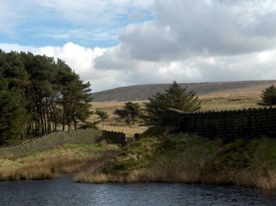
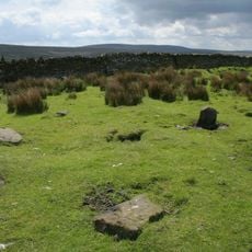
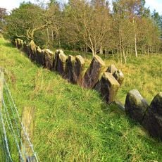
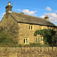
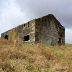
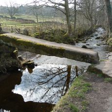
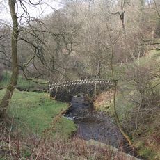
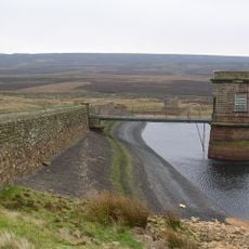
Boulsworth Hill is a summit in the South Pennines that reaches 517 meters high with steep flanks shaped by acidic grassland and millstone grit rock formations. The open moorland creates a windswept landscape with few trees and long views across the valley floor.
This hill once served as a natural boundary line between Lancashire districts before being incorporated into marked walking paths. It was part of the original planned route for the Pennine Way, a major walking trail in the region.
The hill provides nesting grounds for red grouse, twite, and golden plovers, contributing to the preservation of local bird populations.
Several walking trails lead from nearby Trawden to the summit, with a trig point and large rock formation marking the highest spot. The terrain is exposed, so expect changeable weather and strong winds at the top.
On clear days, visitors standing at the Weather Stones near the peak can see all the way to Pendle Hill, the Yorkshire Dales, and even the roller coaster at Blackpool Pleasure Beach. These distant views create a surprising connection to landmarks far beyond the immediate landscape.
The community of curious travelers
AroundUs brings together thousands of curated places, local tips, and hidden gems, enriched daily by 60,000 contributors worldwide.