
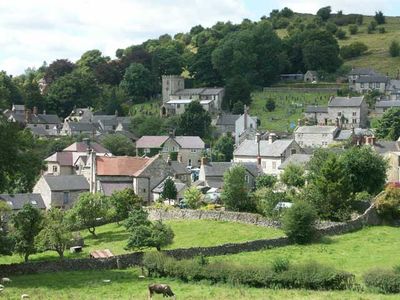
Brassington, village and civil parish in Derbyshire Dales district, Derbyshire, England
Location: Derbyshire Dales
Shares border with: Hopton, Ible, Ivonbrook Grange, Aldwark, Ballidon, Bradbourne, Hognaston, Carsington, Winster, Gratton, Elton, Hartington Nether Quarter
GPS coordinates: 53.08500,-1.65600
Latest update: April 2, 2025 22:59

Minninglow
3.8 km
All Saints' Church, Bradbourne
2.8 km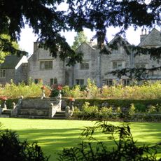
Bradbourne Hall
2.7 km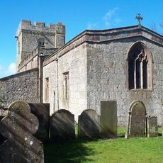
Bradbourne Priory
2.8 km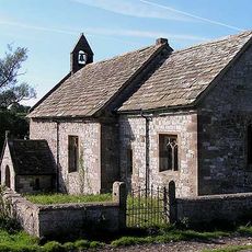
All Saints Church, Ballidon
2.7 km
Carsington Water Visitor Centre
2.9 km
Green Low chambered tomb
3.8 km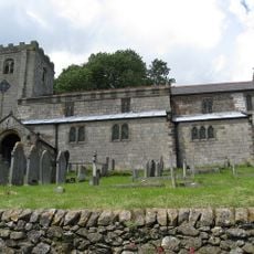
Church of St James
136 m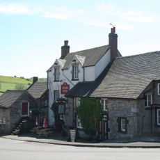
Miners Arm and outbuildings
79 m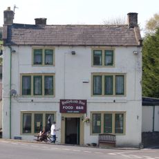
Holly Bush Inn
3.6 km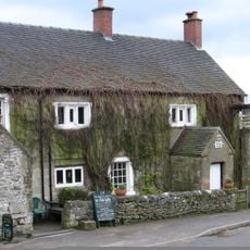
The Gate Inn
161 m
Harboro' Cave
1.5 km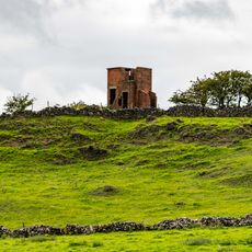
World War Two Observation Post
1.1 km
Blackstone's Low bowl barrow
2.4 km
Tilcon Offices, Ballidon Quarry
3.2 km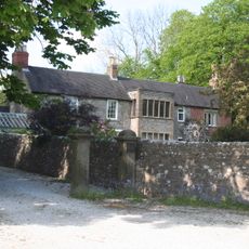
The Old Parsonage
2.8 km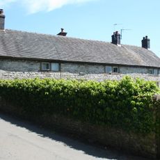
The Manor House
113 m
Railway Bridge
1.6 km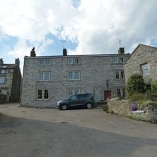
Red Lion House
147 m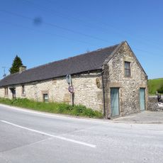
Toll Bar Cowshed
3.6 km
Ballidonhall Farmhouse
2.9 km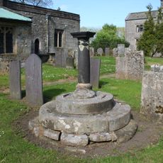
Standing cross in the churchyard of All Saints' Church
2.8 km
Roystone Grange Farmhouse and barn
4 km
Oldfields Farmhouse
2.7 km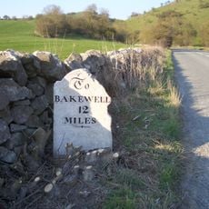
Milestone Half Mile North East Of White Meadow At Ngr 207 539
2.4 km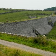
Minninglow Embankment and bridge, High Peak Trail
5.2 km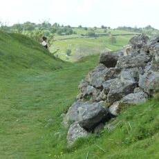
Carsington Pasture, Nickalum, Perserverance, West Head, Break Hollow and other small mines and medieval field boundaries
1.4 km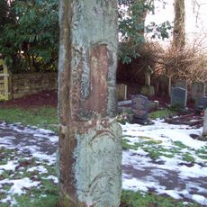
Anglian high cross in the churchyard of All Saints' Church
2.8 kmVisited this place? Tap the stars to rate it and share your experience / photos with the community! Try now! You can cancel it anytime.
Discover hidden gems everywhere you go!
From secret cafés to breathtaking viewpoints, skip the crowded tourist spots and find places that match your style. Our app makes it easy with voice search, smart filtering, route optimization, and insider tips from travelers worldwide. Download now for the complete mobile experience.

A unique approach to discovering new places❞
— Le Figaro
All the places worth exploring❞
— France Info
A tailor-made excursion in just a few clicks❞
— 20 Minutes