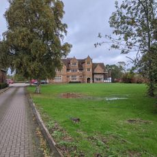
Brandon Castle, Medieval castle ruin in Brandon and Bretford, England
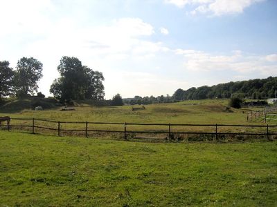
Brandon Castle is a medieval fortification near the River Avon in England with low earthwork remains and stone sections that indicate its original defensive layout. The site shows a two-phase construction with early mounds later reinforced by stone structures built centuries apart.
The first fortification began as an earthwork in the 12th century but was reinforced with stone around 1226 when new occupants wanted to display power. A century later combat forces destroyed the castle because its lord had backed the king rather than the rebel barons.
The ruins show how medieval families used fortified structures to protect their lands and demonstrate the importance of such places in local life. They reveal what daily life was like for the nobility who controlled and lived within these defensive structures.
The site is open to the landscape and reachable on foot from nearby paths, though sturdy footwear helps since ground can be uneven. There are few sitting areas, so plan time for a quick exploration and bring water since there are no facilities on site.
The ruin was brought down not just by time but by deliberate destruction during a civil conflict, which dramatically interrupted its story. This violent past remains readable in the rubble today if you know what to look for.
The community of curious travelers
AroundUs brings together thousands of curated places, local tips, and hidden gems, enriched daily by 60,000 contributors worldwide.