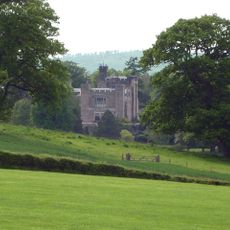
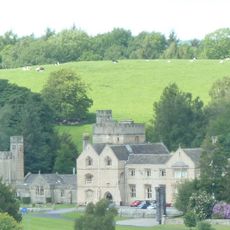
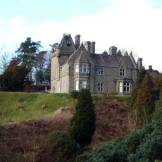
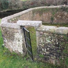
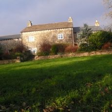
Burton in Lonsdale Castle, Medieval fortress site in Burton in Lonsdale, England.
Burton in Lonsdale Castle is a medieval fortress consisting of a central raised mound with two defensive areas positioned on its western and southern sides. The structure displays typical Norman earthwork fortifications with distinct raised embankments.
The fortress was founded in 1092 as a control point for the newly secured northern territories following the Norman Conquest. Over time it underwent structural modifications that changed its defensive design.
This castle functioned as a control point for the Mowbray family's lands and was essential to local governance during medieval times. You can see how its position and layout reflect the power structures of that era.
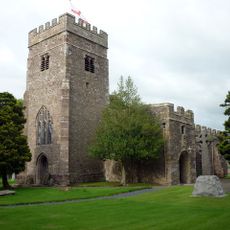
The remains are situated near a Victorian church and are relatively easy to locate, though access is limited due to private ownership. It is advisable to check accessibility beforehand and explore the site during good weather when the earthworks are clearly visible.
Archaeological investigations reveal the structure began as a ringwork design before being converted into a motte formation. This transformation is a rare example of how defensive designs evolved during the medieval period.
The community of curious travelers
AroundUs brings together thousands of curated places, local tips, and hidden gems, enriched daily by 60,000 contributors worldwide.