Brontë Way, Long-distance footpath in West Yorkshire and Lancashire, England
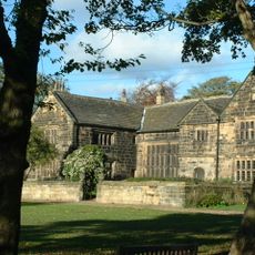
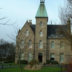
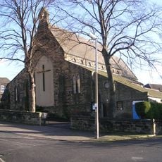
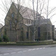
The Brontë Way is a walking trail about 43 miles long stretching between Oakwell Hall in West Yorkshire and Gawthorpe Hall in Lancashire. The route passes through quiet villages, open moorlands, and past historic houses connected to the Brontë family's life and work.
The trail follows ancient pathways once used by the Brigantes tribe and connects places linked to the Brontë family in the 1800s. The route passes through a landscape shaped by old history that inspired the sisters' literary works.
The route passes through places deeply connected to the Brontë sisters and the stories they wrote. Visitors can see the landscapes described in their novels and gain a direct sense of how this environment shaped the writers' imagination and creativity.
The trail is well-marked and can be completed in sections over several days using local buses and trains for connections. Along the way, pubs, small inns, and a youth hostel near Haworth provide places to stop for food and rest.
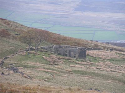
Several locations along the trail served as inspiration for famous novel settings, such as Top Withins for Wuthering Heights and Wycoller Hall for Jane Eyre. These literary connections transform the walk into an experience that steps directly into the sisters' fiction.
The community of curious travelers
AroundUs brings together thousands of curated places, local tips, and hidden gems, enriched daily by 60,000 contributors worldwide.