Enable Location

We need your location to show you interesting places around you

Discover nearby places

Find interesting locations and hidden gems around you

Precise directions

Get accurate directions and distances to places

Your location is never shared with other users. It's only used when you tap the location button.

Burnhope Reservoir

Log in to your account

Start exploring — it's free

Trusted by 62,490 travelers worldwide

Continue with Google
Continue with Apple
or

We will send you a code to connect

By continuing, you accept our Terms and Conditions and our Privacy Policy

Check your inbox

We've sent a pincode in your inbox. Please enter the code below.

Burnhope Reservoir

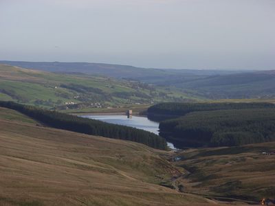
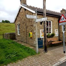
Burnhope Reservoir, lake in the United Kingdom

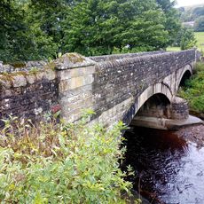
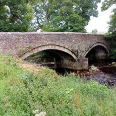
Burnhope Reservoir is a water storage facility in Durham in the North Pennines, surrounded by fields and patches of woodland. The triangular-shaped reservoir is approximately 2.5 miles around, with established pathways circling the water and a solid dam spanning its width.

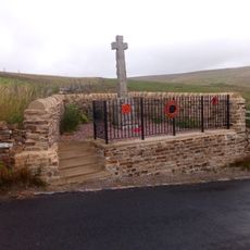
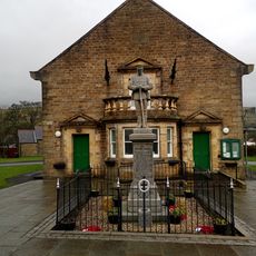
The reservoir was constructed many years ago to supply water to nearby towns and farms through a community effort of local people seeking better water access. This infrastructure represented an important investment in the region's ability to manage water resources.

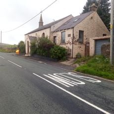
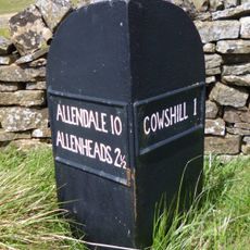
The paths around the reservoir are simple, mostly gravel or dirt, and suitable for walking, jogging, or easy cycling for visitors of all ages. Parking is available at the southeastern tip, and picnic areas are located along the route, though bring supplies as there are no facilities nearby.

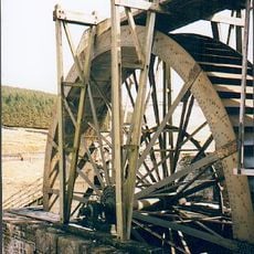
The reservoir features an engineered overflow system where excess water flows through a shaft into a stream, preventing flooding while maintaining water levels. A steep scramble over Limekiln Sike provides an unexpected challenge on an otherwise gentle walk.

The community of curious travelers

AroundUs brings together thousands of curated places, local tips, and hidden gems, enriched daily by 60,000 contributors worldwide.

Start exploring
GPS coordinates
54.74444,-2.24444
Latest update
February 9, 2026 08:21
Around this place
Church of St John the Baptist
United Kingdom

Church of St John the Baptist

4.3 km
Wearhead Methodist Chapel
United Kingdom

Wearhead Methodist Chapel

1.8 km
John Wesley Monument
United Kingdom

John Wesley Monument

2.9 km
Weardale Museum And High House Chapel
United Kingdom

Weardale Museum And High House Chapel

2.9 km
Coronation Bridge Over River Wear
United Kingdom

Coronation Bridge Over River Wear

2.9 km
The 'Golden Lion'
United Kingdom

The 'Golden Lion'

4.3 km
St Thomas' Church
United Kingdom

St Thomas' Church

2.1 km
Bridge Over River Wear
United Kingdom

Bridge Over River Wear

2.3 km
High House Chapel And Former Minister's House
United Kingdom

High House Chapel And Former Minister's House

2.9 km
Cowshill War Memorial
United Kingdom

Cowshill War Memorial

2.2 km
Burtree Ford House And Barn Adjoining
United Kingdom

Burtree Ford House And Barn Adjoining

2 km
Greenlaws (Former Primitive Methodist Chapel)
United Kingdom

Greenlaws (Former Primitive Methodist Chapel)

2.9 km
Bridge End
United Kingdom

Bridge End

2 km
St John's Chapel, War Memorial
United Kingdom

St John's Chapel, War Memorial

4.3 km
Rancho Del Rio
United Kingdom

Rancho Del Rio

3 km
Hackword Tomb About 2 Metres East Of East End Of Church Of St John
United Kingdom

Hackword Tomb About 2 Metres East Of East End Of Church Of St John

4.3 km
Guidepost At Junction Of A689 And Causeway Road
United Kingdom

Guidepost At Junction Of A689 And Causeway Road

2.3 km
High Greenfield, Cowshill, 50m S bridge
United Kingdom

High Greenfield, Cowshill, 50m S bridge

3.1 km
Weavers Workshop At Junction Of A689 And Causeway Road
United Kingdom

Weavers Workshop At Junction Of A689 And Causeway Road

2.3 km
Park Level Mine Jigger House And Crushing Mill Water Wheel
United Kingdom

Park Level Mine Jigger House And Crushing Mill Water Wheel

4.5 km
Pound At West End Of Village
United Kingdom

Pound At West End Of Village

2.3 km
Aller's Bridge Over Killhope Burn
United Kingdom

Aller's Bridge Over Killhope Burn

2.3 km
Former Lock Up West Of Former Police House
United Kingdom

Former Lock Up West Of Former Police House

2.8 km
Emerson Tomb About 15 Metres East Of Church Of St John, Near South Wall Of Churchyard
United Kingdom

Emerson Tomb About 15 Metres East Of Church Of St John, Near South Wall Of Churchyard

4.3 km
Somerville Tomb About 5 Metres South Of Chancel Of Church Of St John
United Kingdom

Somerville Tomb About 5 Metres South Of Chancel Of Church Of St John

4.3 km
Field Barn About 100 Metres South Of Newhouse
United Kingdom

Field Barn About 100 Metres South Of Newhouse

2.9 km
Cowshill where main road forks right, at jct with UC road
United Kingdom

Cowshill where main road forks right, at jct with UC road

2.1 km
Barn To North Of Low Allers
United Kingdom

Barn To North Of Low Allers

2.3 km
Show the full map
« Burnhope Reservoir - lake in the United Kingdom » is provided by Around Us (aroundus.com). Images and texts are derived from Wikimedia project under a Creative Commons license. You are allowed to copy, distribute, and modify copies of this page, under the conditions set by the license, as long as this note is clearly visible.

Discover hidden gems everywhere you go!

From secret cafés to breathtaking viewpoints, skip the crowded tourist spots and find places that match your style. Our app makes it easy with voice search, smart filtering, route optimization, and insider tips from travelers worldwide. Download now for the complete mobile experience.

Around Us App Screenshot

A unique approach to discovering new places

Le Figaro

All the places worth exploring

France Info

A tailor-made excursion in just a few clicks

20 Minutes

Around Us
Travel Guide & Maps
Download

Send to your phone

QR Code
1

Open the camera app on your mobile.

2

Point at the QR code with your camera. A notification will appear.

3

Tap the notification to open the link.