Enable Location

We need your location to show you interesting places around you

Discover nearby places

Find interesting locations and hidden gems around you

Precise directions

Get accurate directions and distances to places

Your location is never shared with other users. It's only used when you tap the location button.

Burnt Fen

Log in to your account

Start exploring — it's free

Trusted by 62,550 travelers worldwide

Continue with Google
Continue with Apple
or

We will send you a code to connect

By continuing, you accept our Terms and Conditions and our Privacy Policy

Check your inbox

We've sent a pincode in your inbox. Please enter the code below.

Burnt Fen

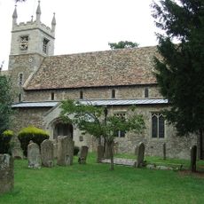
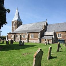
Burnt Fen, Wetland system in East Anglia, England

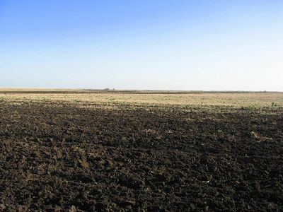
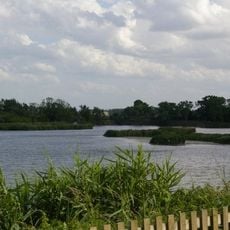
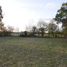
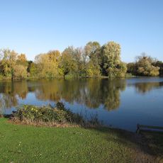
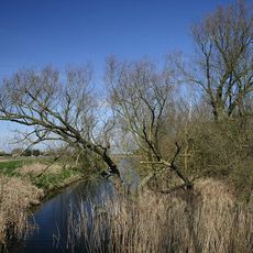
Burnt Fen is a wetland system in East Anglia running along the A1101 between Littleport and Mildenhall, bordered by three rivers. The area contains farmland and an extensive network of drainage channels that manage water flow across the landscape.

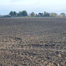
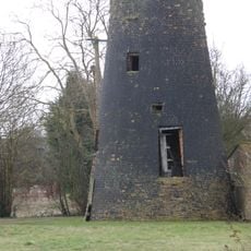
The area was developed through continuous drainage efforts starting in the 18th century to convert moorland into farmland. The need to control water shaped a specialized system that made human settlement and use of the land possible in the first place.

The name comes from the practice of cutting and burning reeds to enrich the soil for farming, a method used since the 17th century. This technique shaped how the land looks and how people have worked here for generations.

The area sits below sea level and requires constant pumped drainage to keep the farmland usable. Visitors should know that the flat terrain and many waterways affect how you move around, and weather can change conditions quickly.

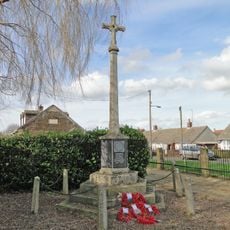
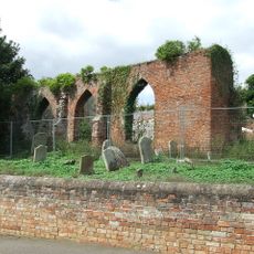
Archaeological digs near Isleham uncovered Bronze Age objects now kept in a museum, showing the area was inhabited long before modern drainage was built. These finds reveal that people lived here in ancient times despite the challenging wet conditions.

The community of curious travelers

AroundUs brings together thousands of curated places, local tips, and hidden gems, enriched daily by 60,000 contributors worldwide.

Start exploring
GPS coordinates
52.46000,0.36000
Latest update
December 12, 2025 16:40
« Burnt Fen - Wetland system in East Anglia, England » is provided by Around Us (aroundus.com). Images and texts are derived from Wikimedia project under a Creative Commons license. You are allowed to copy, distribute, and modify copies of this page, under the conditions set by the license, as long as this note is clearly visible.

Discover hidden gems everywhere you go!

From secret cafés to breathtaking viewpoints, skip the crowded tourist spots and find places that match your style. Our app makes it easy with voice search, smart filtering, route optimization, and insider tips from travelers worldwide. Download now for the complete mobile experience.

Around Us App Screenshot

A unique approach to discovering new places

Le Figaro

All the places worth exploring

France Info

A tailor-made excursion in just a few clicks

20 Minutes

Around Us
Travel Guide & Maps
Download

Send to your phone

QR Code
1

Open the camera app on your mobile.

2

Point at the QR code with your camera. A notification will appear.

3

Tap the notification to open the link.