Brown Wardle Hill, Summit in Greater Manchester and Lancashire, United Kingdom.
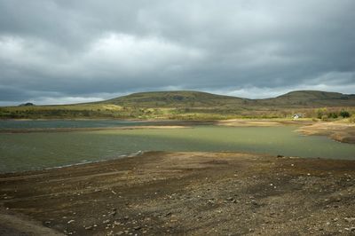
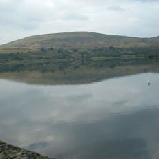
Brown Wardle Hill is a summit sitting at the boundary between Greater Manchester and Lancashire in northwest England. The hill presents broad views across the moorland plateau and attracts visitors looking for accessible walking routes with open countryside.
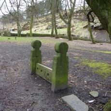
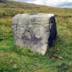
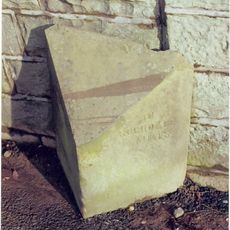
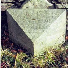
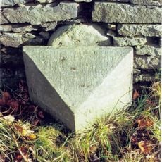
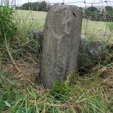
The summit served historically as a natural boundary marker between administrative regions and shaped the territorial divisions that still exist today. Sheep grazing and farming activities left visible marks on the slopes over the centuries.
The hill stands as a natural meeting point between different communities, connecting residents from Wardle village and Whitworth town through shared outdoor activities.
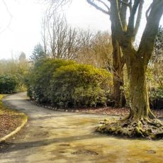
The site is relatively easy to reach with several walking paths starting from nearby towns. Best to visit during dry weather since the moorland ground becomes wet and muddy during rain.
The hill sits precisely on the county boundary line, offering a rare vantage point where visitors can see both administrative regions simultaneously. This makes it interesting for walkers exploring the course of these territorial divisions across the landscape.
GPS coordinates: 53.66372,-2.15511
Latest update: December 14, 2025 15:01
Healey Dell Viaduct
3.2 km
St John the Baptist's Church, Smallbridge
3.7 km
Falinge Park
4.5 km
Handle Hall
4.2 km
Church of Christ
3.1 km
Church of Saint James the Apostle
2.1 km
Church of All Saints
4.1 km
Parish Church of St John the Evangelist, Facit, Whitworth
1.2 km
Church of St. James
4.3 km
Parish Church of St Bartholomew, Whitworth
1.4 km
Hare Hill Park Band Stand
4.3 km
North Chapel At Whitworth Cemetery
783 m
Wardle War Memorial
3.1 km
Littleborough Library
4.2 km
Drinking Fountain At Hare Hill Park
4.3 km
Shore Mill War Memorial
3.4 km
Cemetery Chapel At Whitworth Cemetery (Middle Of 3)
776 m
Dearnley Old Hall
3.6 km
Shore Hall
2.8 km
Stocks In Churchyard Of Church Of St Bartholomew C5 Metres From West Gate
1.5 km
Guidestone, Whimsy Hill
3.7 km
Milestone, Whitworth
1.7 km
Rochdale & Burnley Turnpike Trust Milestone, by Facit Church
1.2 km
Lancs County Council Milestone, by Facit Church
1.2 km
Milestone, Lancs CC carved stone post, Market Street, Whitworth
2.9 km
Guidestone, Catley Lane Head
4 km
Milestone, stone plaque attached to stone post, Market Street, Whitworth
2.9 km
Watergrove Reservoir
1.3 kmVisited this place? Tap the stars to rate it and share your experience / photos with the community! Try now! You can cancel it anytime.
Discover hidden gems everywhere you go!
From secret cafés to breathtaking viewpoints, skip the crowded tourist spots and find places that match your style. Our app makes it easy with voice search, smart filtering, route optimization, and insider tips from travelers worldwide. Download now for the complete mobile experience.
A unique approach to discovering new places❞
— Le Figaro
All the places worth exploring❞
— France Info
A tailor-made excursion in just a few clicks❞
— 20 Minutes