Chest opened
+${chestReward.xp} XP
Explorer
NOUVEAU ×${chestReward.collectible.quantity}
tapez pour fermer

See the monuments around you in AR Open chests in the app

Around Us is built for your phone — point your camera at the streets and discover the monuments and places around you in augmented reality. Around Us is built for your phone — chests unlock when you walk, explore and capture nearby places.

Enable Location

We need your location to show you interesting places around you

Discover nearby places

Find interesting locations and hidden gems around you

Precise directions

Get accurate directions and distances to places

Your location is never shared with other users. It's only used when you tap the location button.

Caus Castle

Log in to your account

Start exploring — it's free

Trusted by 85,364 travelers worldwide

Continue with Google
Continue with Apple
or

We will send you a code to connect

By continuing, you accept our Terms and Conditions and our Privacy Policy

Check your inbox

We've sent a pincode in your inbox. Please enter the code below.

Discussion Reviews 1 Photos
7k Popularity

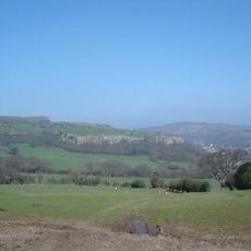
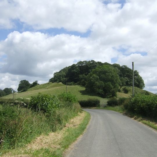
Caus Castle, Medieval castle ruins in Westbury, England

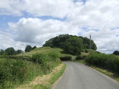
Caus Castle is a ruined medieval fortification on a hilltop near Westbury, featuring a motte and multiple layers of earthwork defenses surrounding the site. The foundation remains and outer ramparts are still visible and reveal the former structure of the stronghold.

William the Conqueror granted land in 1069 to Roger le Corbet, who founded this castle as a stronghold. Over time it grew into a medieval market town with resident merchants and craftspeople.

The name comes from Normandy and reflects the Norman roots of the Corbet family who ruled this borderland region. You can see how medieval structures were built upon much older fortifications.

The site is freely accessible and you can explore the earthworks on foot, though the terrain is uneven. Wear sturdy footwear since the hillside can be steep and the ground becomes slippery after rain.

The stronghold was built upon an Iron Age hillfort, showing how defensive positions were reused across centuries. Earlier inhabitants recognized the same strategic advantage that the Normans would later exploit.

The community of curious travelers

AroundUs brings together thousands of curated places, local tips, and hidden gems, enriched daily by 60,000 contributors worldwide.
Start exploring
Location
GPS coordinates
52.66381,-2.98190
Latest update
August 30, 2026 10:04
Around this place
Long Mountain
United Kingdom

Long Mountain

3.7 mi
Wattlesborough Castle
United Kingdom

Wattlesborough Castle

3.2 mi
Church of St John the Baptist
United Kingdom

Church of St John the Baptist

2.8 mi
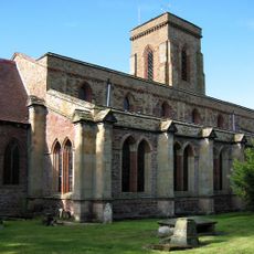
Church of All Saints
United Kingdom

Church of All Saints

2 mi
Church of Holy Trinity
United Kingdom

Church of Holy Trinity

3.9 mi
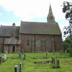
Church of St Mary
United Kingdom

Church of St Mary

1.5 mi
Church of the Holy Trinity
United Kingdom

Church of the Holy Trinity

2.9 mi
Holy Trinity Church
United Kingdom

Holy Trinity Church

3.9 mi
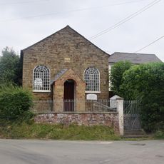
Asterley Methodist Chapel
United Kingdom

Asterley Methodist Chapel

2.4 mi
Cefn-y-Castell
United Kingdom

Cefn-y-Castell

4 mi
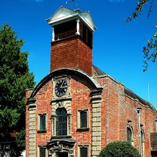
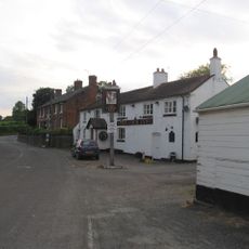
The Cock Inn
United Kingdom

The Cock Inn

2.4 mi
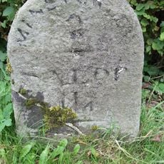
Milestone Approximately 135 Metres To North Of Brook Field
United Kingdom

Milestone Approximately 135 Metres To North Of Brook Field

3.8 mi
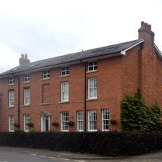
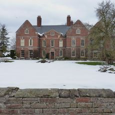
Whitton Hall
United Kingdom

Whitton Hall

1 mi
Worthen Hall Farmhouse
United Kingdom

Worthen Hall Farmhouse

1.9 mi
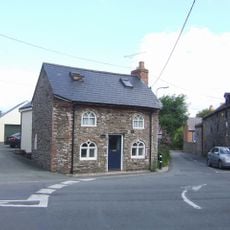
Former Toll House Approximately 16 Metres To West Of Acacia House
United Kingdom

Former Toll House Approximately 16 Metres To West Of Acacia House

2.8 mi
The Old White Horse
United Kingdom

The Old White Horse

2 mi
United Kingdom

Village Pump At Ngr Sj 3353 0200

3.6 mi
THE HERMITAGE
United Kingdom

THE HERMITAGE

1.6 mi
Milestone, Stoney Stretton
United Kingdom

Milestone, Stoney Stretton

3.2 mi
Milestone, Halfway House; by "Edge Croft"
United Kingdom

Milestone, Halfway House; by "Edge Croft"

2.4 mi
Milestone, Near B4387 jct.
United Kingdom

Milestone, Near B4387 jct.

1.3 mi
Milestone, 120m N Horseshoes Inn, Pontesford
United Kingdom

Milestone, 120m N Horseshoes Inn, Pontesford

3.7 mi
Milestone, Little Minsterley
United Kingdom

Milestone, Little Minsterley

3.1 mi
United Kingdom

Sundial Approximately 7 Metres To South Of Nave Of Church Of St Mary

1.5 mi
United Kingdom

Wall Attached To South East Corner Of Hampton Hall

2.1 mi
United Kingdom

Wall Attached To South West Corner Of 1938 Extension To Hampton Hall

2.2 mi
United Kingdom

Sundial Approximately 15 Metres To South East Of Whitton Hall

1 mi
United Kingdom

Worthen War Memorial

2 mi
Show the full map
Reviews
Share your experience

No review yet

Discussions
Start a discussion...

No discussion yet

« Caus Castle - Medieval castle ruins in Westbury, England » is provided by Around Us (aroundus.com). Images and texts are derived from Wikimedia project under a Creative Commons license. You are allowed to copy, distribute, and modify copies of this page, under the conditions set by the license, as long as this note is clearly visible.

Discover hidden gems everywhere you go!

From secret cafés to breathtaking viewpoints, skip the crowded tourist spots and find places that match your style. Our app makes it easy with voice search, smart filtering, route optimization, and insider tips from travelers worldwide. Download now for the complete mobile experience.

Around Us App Screenshot

A unique approach to discovering new places

Le Figaro

All the places worth exploring

France Info

A tailor-made excursion in just a few clicks

20 Minutes

Around Us
Travel Guide & Maps
Download

Send to your phone

QR Code
1

Open the camera app on your mobile.

2

Point at the QR code with your camera. A notification will appear.

3

Tap the notification to open the link.