Chest opened
+${chestReward.xp} XP
Explorer
NOUVEAU ×${chestReward.collectible.quantity}
tapez pour fermer
Chest locked

Open chests in the app

Around Us is built for your phone — chests unlock when you walk, explore and capture nearby places.

Enable Location

We need your location to show you interesting places around you

Discover nearby places

Find interesting locations and hidden gems around you

Precise directions

Get accurate directions and distances to places

Your location is never shared with other users. It's only used when you tap the location button.

Log in to your account

Start exploring — it's free

Trusted by 72,890 travelers worldwide

Continue with Google
Continue with Apple
or

We will send you a code to connect

By continuing, you accept our Terms and Conditions and our Privacy Policy

Check your inbox

We've sent a pincode in your inbox. Please enter the code below.

Clarendon Way
Discussion Reviews Photo
3.5k Popularity

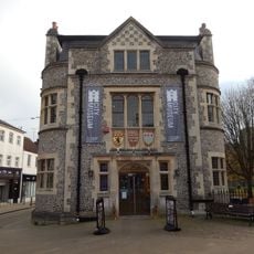
Clarendon Way, long distance footpath in Hampshire and Wiltshire, England, UK

The Clarendon Way is a 24-mile long-distance trail that connects Winchester and Salisbury, divided into four sections that can each be completed in a day. The route winds through changing landscapes including river valleys, chalk hills with expansive views, and woodlands, marked with green signs to guide walkers through the rural terrain.

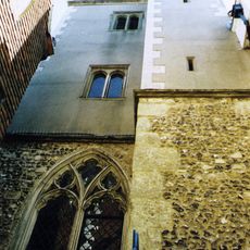
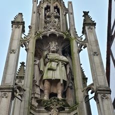
The route takes its name from Clarendon Park, the site of Clarendon Palace, a royal hunting lodge from Norman times of which only a flint wall remains today. Several sections of the trail follow ancient Roman roads once traveled by soldiers moving between Old Sarum and Winchester.

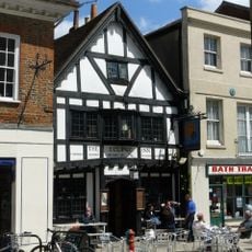
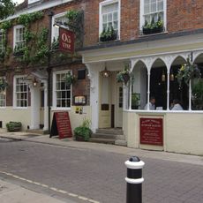
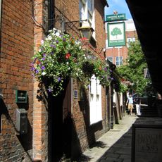
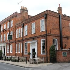
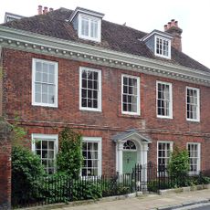
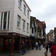
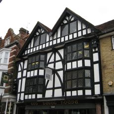
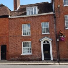
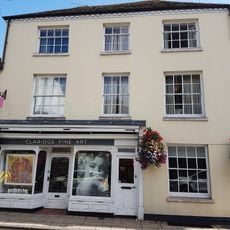
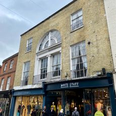
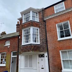
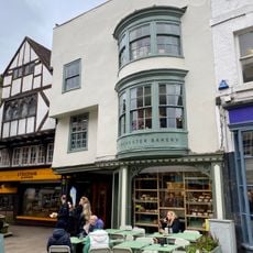
The route passes through small villages where local pubs serve as gathering places for residents and travelers alike, offering hearty meals and regional drinks. These communities with their old cottages and winding lanes show how people have lived and connected in this countryside for centuries.

The trail can be walked in daily sections or spread over a weekend, with digital and printed maps available for planning your journey. Waterproof clothing and sturdy shoes are recommended, especially in wet conditions, and accommodations near the route cater to walkers seeking rest after a day on foot.

The trail crosses several ancient Roman roads, allowing walkers to follow the same routes once traveled by soldiers and merchants nearly 2000 years ago. This connection to the distant past makes each step a journey through different eras of English history.

The community of curious travelers

AroundUs brings together thousands of curated places, local tips, and hidden gems, enriched daily by 60,000 contributors worldwide.

Start exploring
Location
Location
GPS coordinates
51.06200,-1.31600
Latest update
February 9, 2026 08:24
Reviews
Share your experience

No review yet

Discussions
Start a discussion...

No discussion yet

« Clarendon Way - long distance footpath in Hampshire and Wiltshire, England, UK » is provided by Around Us (aroundus.com). Images and texts are derived from Wikimedia project under a Creative Commons license. You are allowed to copy, distribute, and modify copies of this page, under the conditions set by the license, as long as this note is clearly visible.

Discover hidden gems everywhere you go!

From secret cafés to breathtaking viewpoints, skip the crowded tourist spots and find places that match your style. Our app makes it easy with voice search, smart filtering, route optimization, and insider tips from travelers worldwide. Download now for the complete mobile experience.

Around Us App Screenshot

A unique approach to discovering new places

Le Figaro

All the places worth exploring

France Info

A tailor-made excursion in just a few clicks

20 Minutes

Around Us
Travel Guide & Maps
Download

Send to your phone

QR Code
1

Open the camera app on your mobile.

2

Point at the QR code with your camera. A notification will appear.

3

Tap the notification to open the link.