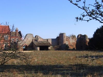
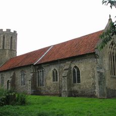
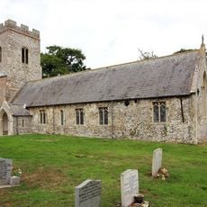
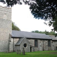
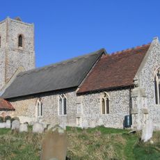
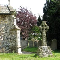
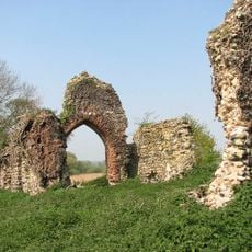
Claxton Castle, Medieval castle ruins in Claxton, Norfolk, England.
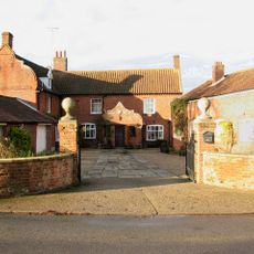
Claxton Castle consists of remaining fortress walls built from brick and flint, featuring six bastions and three towers equipped with internal staircases and arched openings. The structures stand within the grounds of an adjacent manor house on private land.
The fortress received its first building license in 1340, with a second authorization granted in 1376 to the original builder's son. Significant portions were removed during the 1600s to recycle materials for nearby construction projects.
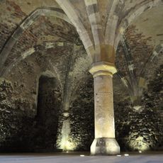
The ruins show medieval building techniques and defensive design that shaped fortress construction of that era. Visitors can see how fortifications were built to protect and control the surrounding lands.
The site is viewable from outside, though it stands on private property and should be visited with respect for the owners. It sits roughly 10 miles southeast of Norwich and is easily reachable by car for those exploring Norfolk.
The brick and flint walls display an unusual building method where light-colored flint stones were mixed with brick for visual effect and structural strength. This material combination makes the ruins distinctly recognizable even in their damaged state.
The community of curious travelers
AroundUs brings together thousands of curated places, local tips, and hidden gems, enriched daily by 60,000 contributors worldwide.