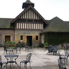
Cragside, Tudor Revival country house in Cartington, England
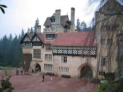
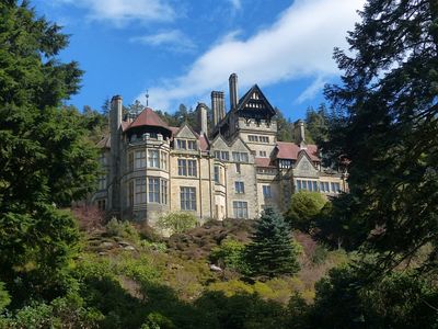
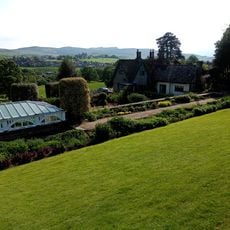
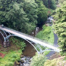
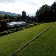
Cragside is a Tudor Revival country house in Cartington, England, built from dark stone with multiple towers and sweeping window sections. The building rises on a hillside among woodland and offers views over landscaped lakes and gardens in the valley below.
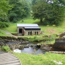
Lord William Armstrong commissioned architect Richard Norman Shaw to transform his modest country cottage into a sprawling residence between 1869 and 1882. Armstrong installed a hydroelectric plant in the 1870s that generated electric light for the rooms, which was an extraordinary technical advance at the time.
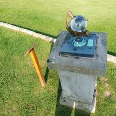
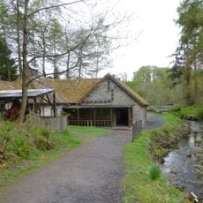
The surname Armstrong connects to dozens of inventions visitors can still see in action today, including mechanical devices powered by water. These machines automated everyday household tasks and show how a wealthy Victorian family lived and experimented with new technology.
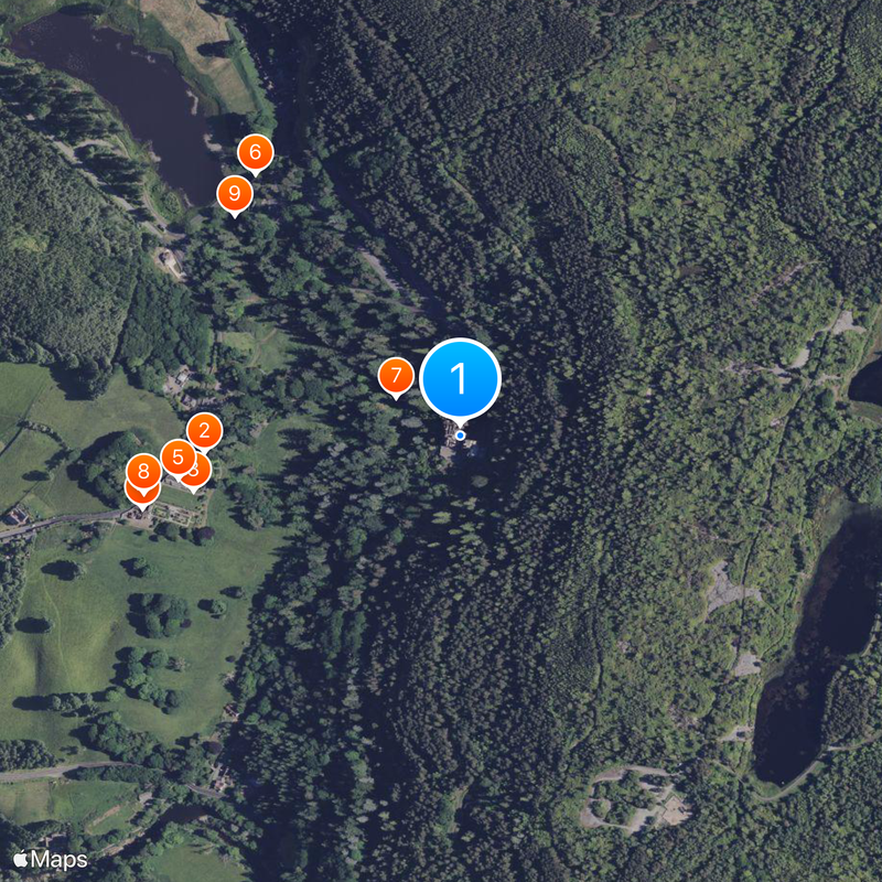
The National Trust offers five marked walking trails through the grounds, ranging from short loops to longer routes through forest and past waterfalls. The paths cross steep hillsides in places, so sturdy footwear and extra time are advisable.
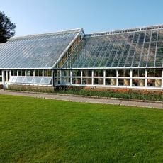
The architect Shaw designed over 120 different window shapes for the estate, with no two exactly alike. This variety was meant to bring light into every room while creating a varied exterior appearance at the same time.
The community of curious travelers
AroundUs brings together thousands of curated places, local tips, and hidden gems, enriched daily by 60,000 contributors worldwide.