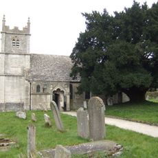
Cotswold Commons and Beechwoods, Protected ecological area in Gloucestershire, England.
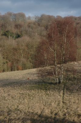
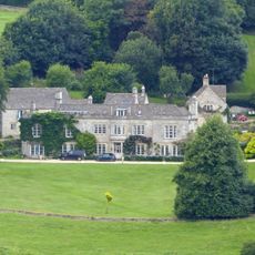
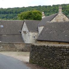
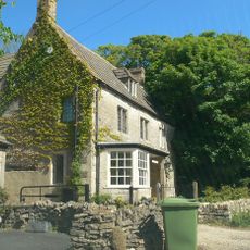
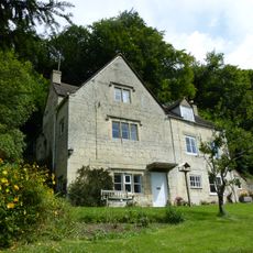
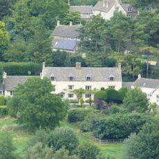
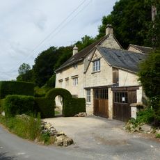
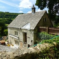
Cotswold Commons and Beechwoods is a protected natural area in the western Cotswolds covering about 666 hectares and combining ancient beech forests with limestone grasslands. The site contains diverse habitats including woodlands, grasslands, and disused limestone quarries linked by walking paths.
The site gained its protected status in 1954 when it was recognized for its scientific importance and the centuries-long management of its beech forests. The woodlands had been actively managed for timber production over generations, shaping the landscape we see today.
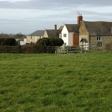
Local communities continue grazing livestock on common lands at places like Painswick Beacon and Cranham to maintain the landscape as it has looked for generations. This everyday practice shapes how the hills appear and demonstrates how people and nature work together in this region.
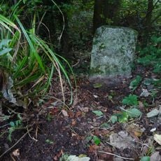
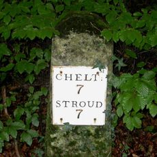
Walking is the best way to explore, with marked trails connecting different parts of the area and generally accessible to most visitors. Weather can be changeable, so bring suitable clothing and waterproof footwear for a comfortable visit.
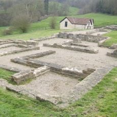
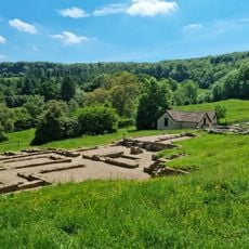
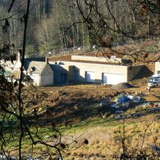
Disused limestone quarries across the site serve as winter shelters for bat populations, making it a crucial location for these vulnerable creatures. These underground spaces provide the stable temperatures and conditions bats need to survive the colder months.
The community of curious travelers
AroundUs brings together thousands of curated places, local tips, and hidden gems, enriched daily by 60,000 contributors worldwide.