Dengie SPA, Nature reserve and scientific interest site in Dengie Peninsula, England
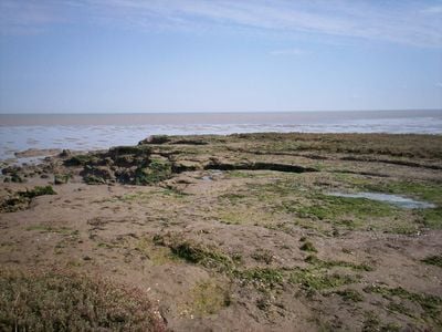
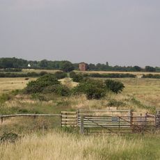
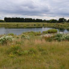
Dengie SPA is a nature reserve on the Dengie Peninsula located between two river mouths on the Essex coast. The site covers extensive tidal mudflats, salt marshes, and shallow coastal areas that support a wide variety of wildlife.
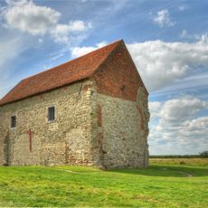
The reserve was designated to protect its importance for migratory birds and coastal habitats. It received multiple environmental designations due to its geological formations and ecological significance.
Research teams regularly conduct studies on coastal ecosystems within the reserve, contributing to scientific understanding of wetland environments and wildlife patterns.
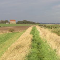
The site is best explored at low tide when mudflats become accessible and birds are easier to watch. Sturdy footwear and weather protection are advisable since conditions can change quickly.
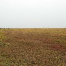
A section called Bradwell Shell Bank is known for specialized coastal plant communities that grow on shell deposits. This small area displays unusual ecological conditions that reveal how the coast adapts to specific environments.
The community of curious travelers
AroundUs brings together thousands of curated places, local tips, and hidden gems, enriched daily by 60,000 contributors worldwide.