Deeping Fen, Wetland in South Holland, England
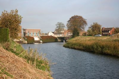
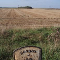
Deeping Fen is a wetland in South Holland lying between the River Welland and River Glen, featuring an intricate network of drainage channels cutting through open agricultural land. The landscape consists of flat, expansive fields crisscrossed by these engineered waterways that shape its distinctive appearance.
Drainage efforts began during Queen Elizabeth I's reign, with major engineering works commencing in 1632 when investors undertook significant projects to reshape the wetland. These initial interventions established the foundation for subsequent transformations that converted the marshy terrain into productive farmland.
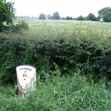
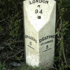
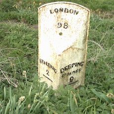
The name Deeping comes from Old English 'Deoping', describing the flat, marshy nature of this region between Spalding and Peterborough. This linguistic heritage still shapes how people understand and relate to the waterlogged landscape today.
Water levels are regulated through a system of pumping stations managed by a local drainage board to keep the fields viable for farming. Visitors should know that water levels vary by season and weather, which affects how the landscape appears and feels when exploring the area.
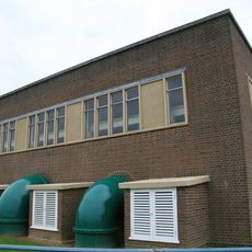
The Pode Hole pumping station, built in 1823, once ranked as the largest drainage facility across the entire Fenland region and stands as an engineering landmark. Its story reveals how technical innovation made the large-scale transformation of this landscape possible.
The community of curious travelers
AroundUs brings together thousands of curated places, local tips, and hidden gems, enriched daily by 60,000 contributors worldwide.