Cromwell Lock, Navigation lock on River Trent in Nottinghamshire, England.
Description
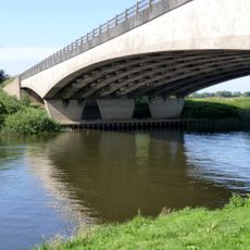
Cromwell Lock is a navigation lock on the River Trent in Nottinghamshire that regulates water levels for passing boats. The facility features gates and control systems designed to help vessels move through this section of the river.
History
Construction of the lock began in 1908 following parliamentary authorization granted to the Trent Navigation Company in 1906. This project was part of efforts to modernize river navigation in the region.
Culture
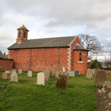
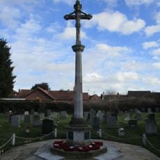
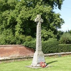
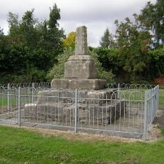
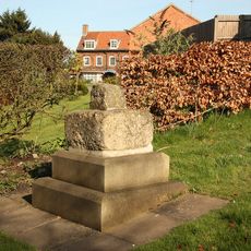
A memorial garden made of Scottish granite honors ten Royal Engineers who died during a navigation exercise in 1975. The space serves as a quiet place where visitors can pause and reflect on this tragic event.
Practical
The lock is easily accessible on foot, and visitors can observe operations from various vantage points. Regular maintenance keeps the facility operational throughout the year for both commercial and recreational boat traffic.
Did you know?
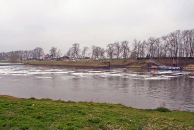
The lock marks the tidal limit of the River Trent and sits roughly 70 kilometers from Coton in the Elms, the furthest point from the sea in Great Britain. This geographic position makes it a significant boundary in the river system.
AroundUs brings together thousands of curated places, local tips, and hidden gems, enriched daily by 60,000 contributors worldwide. Discover all places nearby (Cromwell).
Langford Hall
4 km
St. Wilfrid's Church, North Muskham
2.7 km
All Saints' Church, Collingham
2.2 km
Holy Trinity Church, Besthorpe
4 km
St John the Baptist's Church, Collingham
1.7 km
St Mary's Church, Carlton-on-Trent
2.9 km
St Giles' Church, Holme
2.1 km
St Bartholomew's Church, Langford
2.4 km
Winthorpe Bridge
4.4 km
St. Laurence's Church, Norwell
3.3 km
St. Giles' Church, Cromwell
1 km
St. Wilfrid's Church, South Muskham
4.1 km
Winthorpe Hall
4.6 km
North Collingham War Memorial
2.3 km
The Nunnery
1.7 km
The Little House And Number 20
2 km
Carlton Hall
3 km
Grange Farm House
3.6 km
Norwell War Memorial
3.4 km
Standing cross 300m north of Trent Farm
2.2 km
Standing cross 140m north of The Old Hall
2.2 km
The Old Hall
2.9 km
The Hollies
3.8 km
Standing cross on the west side of High Street
2.6 km
Langford medieval village, including moat and open field system, 450m north west of Elmtree Farm
2.8 km
Lime Tree House
2 km
Village Cross
4.4 km
Dial House
4.5 kmDiscover hidden gems everywhere you go!
From secret cafés to breathtaking viewpoints, skip the crowded tourist spots and find places that match your style. Our app makes it easy with voice search, smart filtering, route optimization, and insider tips from travelers worldwide. Download now for the complete mobile experience.
A unique approach to discovering new places❞
— Le Figaro
All the places worth exploring❞
— France Info
A tailor-made excursion in just a few clicks❞
— 20 Minutes