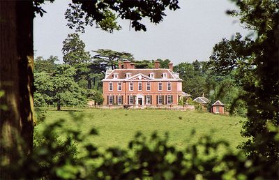
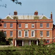
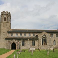
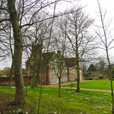
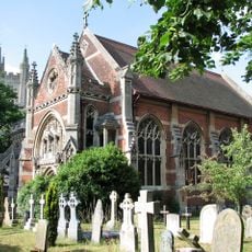
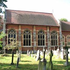
Ditchingham Hall, English country house in Ditchingham, Norfolk.
Ditchingham Hall is an early 18th-century brick building that stands within extensive parkland and displays the architectural style typical of Georgian country houses. The property sits on a large estate surrounded by woodland and open spaces that define the character of a major English country seat.
Reverend John James Bedingfeld built this house in 1710, replacing an earlier structure that had stood on the same site. The brick construction followed the building standards of the time for wealthy landowners in Norfolk.
The house reflects how England's wealthy landowners expressed their status and taste through their homes during the Georgian era. The building and its grounds show the lifestyle and values that shaped rural life for the privileged classes.
The property is private and not open to visitors, but the exterior of the house can be viewed from nearby public roads. It is located approximately 2 miles northwest of the village, making it accessible by car for those wanting to see it from the outside.
The estate sustained significant tree damage during the Great Storm of 1987, an event documented by German writer W.G. Sebald during his visit to the area. This natural disaster left a lasting mark on the landscape that visitors can still perceive today.
The community of curious travelers
AroundUs brings together thousands of curated places, local tips, and hidden gems, enriched daily by 60,000 contributors worldwide.