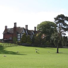
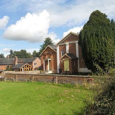
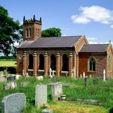
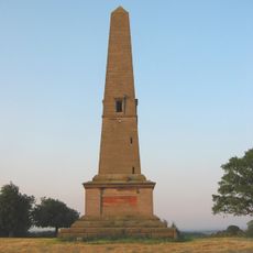
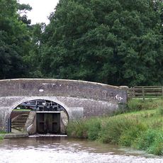
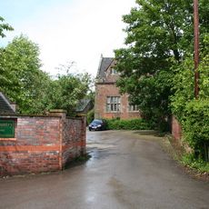
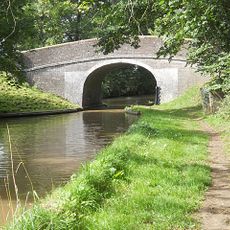
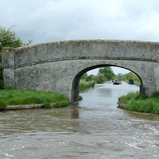
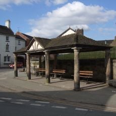
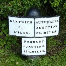
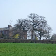
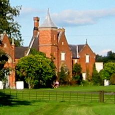
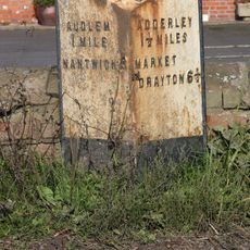
Dodcott cum Wilkesley, civil parish in Cheshire East, England
Location: Cheshire East
Shares border with: 
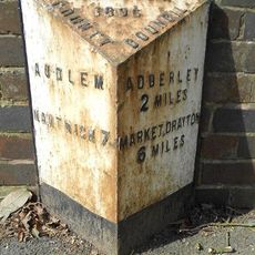
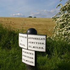
Audlem, Newhall, Wrenbury-cum-Frith, Marbury cum Quoisley, Whitchurch Urban, Whitchurch Rural, Ightfield, Adderley
GPS coordinates: 52.98100,-2.56700
Latest update: April 3, 2025 20:25
Combermere Abbey
3.4 km
St James' Church, Audlem
4.1 km
Moss Hall
3.7 km
St Mary's and St Michael's Church, Burleydam
1.4 km
Audlem Baptist Church
4.4 km
Church of Saint John the Baptist
5 km
Christ Church
4.9 km
Monumental Obelisk at Combermere Abbey
4.9 km
Bridge No 75 at SJ 659 415
4.1 km
The Old Grammar School
4.1 km
Bridge No 74 at SJ 660 411
4.3 km
Combermere Abbey (house)
3.6 km
Bennetts Bridge (No 80) At SJ652452
4.1 km
Memorial Lampstandard
4 km
Hankelow Mill
4.5 km
Milepost on E. side of Audlem Lock No. 5, at SJ 659 423
3.9 km
Southern range of service buildings
3.5 km
The Market House
4 km
Milepost Circa 230 Metres North Of Bennett's Bridge (No 80) At Sj 652 455
4.2 km
Lower Lodge
5.5 km
Stable block
3.4 km
Gate piers and railings circa 5 yards to north east of Stone Lodge
2.2 km
Milepost Shropshire Union Canal
3.9 km
Northern range of service buildings
3.5 km
Milepost Approximately 550 Metres To North West Of Bridge Number 73
4.6 km
Game larder to the centre of the service court at Combermere Abbey
3.5 km
Butterley Heyes
2.9 km
Milepost, Bridge Farm
3.4 kmVisited this place? Tap the stars to rate it and share your experience / photos with the community! Try now! You can cancel it anytime.
Discover hidden gems everywhere you go!
From secret cafés to breathtaking viewpoints, skip the crowded tourist spots and find places that match your style. Our app makes it easy with voice search, smart filtering, route optimization, and insider tips from travelers worldwide. Download now for the complete mobile experience.
A unique approach to discovering new places❞
— Le Figaro
All the places worth exploring❞
— France Info
A tailor-made excursion in just a few clicks❞
— 20 Minutes