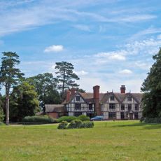
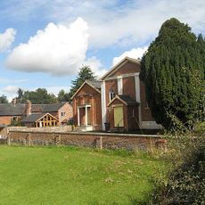
St James' Church, Audlem, Grade I listed church building in Audlem, England.
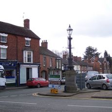
This Anglican place of worship stands prominently on a hill in the village center, constructed from red sandstone with Gothic architectural features including pointed arches, embattled clerestory windows, and a northwest tower topped with decorative pinnacles.
The church traces its origins to around 1250 when Thomas de Aldelim donated the land to St Thomas's Priory in Stafford during Edward I's reign, with significant Victorian renovations carried out by architects Lynam and Thomas Rickman in 1855-56.
The building serves as the spiritual heart of the community, hosting regular Anglican services, weddings, and festivals while displaying historical artifacts including Jacobean furnishings, medieval memorial boards, and stained glass windows created by renowned artists William Wailes and Charles Kempe.
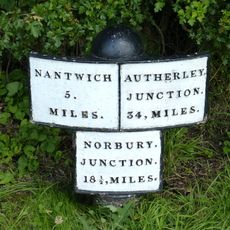
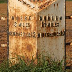
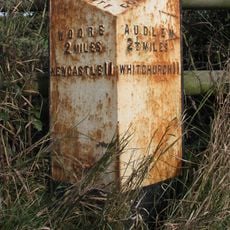
Visitors can access the church via a ramped entrance for mobility assistance or climb the 26 semicircular steps to the south porch, with nearby parking available and public transport connections through D&G Bus services along the A532 from Crewe.
The church houses a complete ring of six bells cast by Abel Rudhall in 1736 and maintains parish registers dating back to 1557, while archaeological discoveries during Victorian renovations revealed medieval wall paintings hidden beneath centuries of plaster layers.
Location: Audlem
Inception: 13 century
Architects: Thomas Rickman
Architectural style: English Gothic architecture
Website: https://audlemstjameschurch.org.uk
GPS coordinates: 52.98910,-2.50790
Latest update: July 24, 2025 11:19
Ball Farmhouse
2.2 km
Moss Hall
666 m
Adderley Hall
3.3 km
Hankelow Hall
2.8 km
Highfields
3 km
Audlem Baptist Church
337 m
Bridge No 75 at SJ 659 415
2.1 km
Bennetts Bridge (No 80) At SJ652452
1.7 km
Memorial Lampstandard
46 m
The Old Grammar School
114 m
Bridge No 74 at SJ 660 411
2.5 km
Hankelow Mill
1.4 km
Milepost on E. side of Audlem Lock No. 5, at SJ 659 423
1.3 km
Milepost c 175m south of Mickley Bridge (No. 84)
3.5 km
Mickley Bridge No.84
3.8 km
The Market House
29 m
Manor Farmhouse
2.1 km
Milepost Approximately 550 Metres To North West Of Bridge Number 73
2.7 km
Butterley Heyes
2.1 km
Milepost Shropshire Union Canal
235 m
Milepost Circa 230 Metres North Of Bennett's Bridge (No 80) At Sj 652 455
2 km
Milepost, Birchall Bridge
2.8 km
Milepost, Corbrook
1.3 km
Milepost, W of A525, canal bridge
221 m
Milepost, Bridge Farm
1.7 km
Milepost, between Bruerton Hall and Bruerton village
2.3 km
Milepost, between Oldmill Bridge and Weaver Bank Farm
2 km
Milepost, W of entrance to The Grange
3.9 kmReviews
Visited this place? Tap the stars to rate it and share your experience / photos with the community! Try now! You can cancel it anytime.
Discover hidden gems everywhere you go!
From secret cafés to breathtaking viewpoints, skip the crowded tourist spots and find places that match your style. Our app makes it easy with voice search, smart filtering, route optimization, and insider tips from travelers worldwide. Download now for the complete mobile experience.
A unique approach to discovering new places❞
— Le Figaro
All the places worth exploring❞
— France Info
A tailor-made excursion in just a few clicks❞
— 20 Minutes