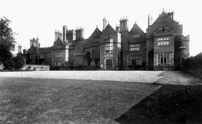
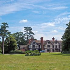
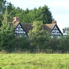
Adderley Hall, Manor house in Adderley, England
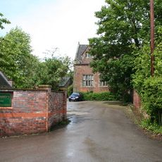
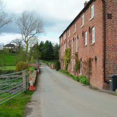
Adderley Hall was a manor house in Adderley constructed primarily from red bricks made locally, featuring ornate windows and a grand entrance in Victorian style. The building rose several stories with elaborate architectural details throughout its exterior and interior spaces.
The original hall burned down and was replaced in 1879 by a new Victorian structure that stood until demolition in 1955. This reconstruction shaped the village landscape for over 75 years.
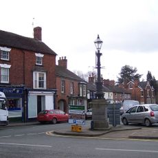
The hall functioned as a social hub where village residents gathered for events and occasions that shaped community life. Its grounds became gathering places where local people spent time together throughout the seasons.
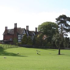
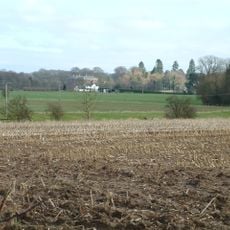
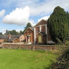
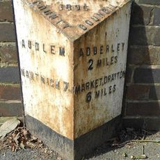
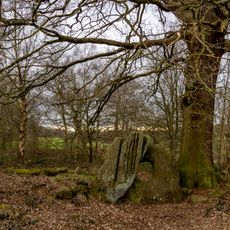
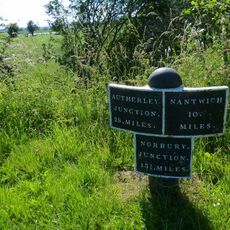
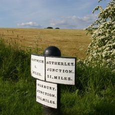
Only the North and South Lodges from the original estate remain visible today, with the main grounds converted to agricultural use. Visitors should know that only these smaller structures preserve the memory of the former property.
Windows and coping stones from the Victorian structure incorporated materials salvaged from the portico columns of the previous building. This deliberate reuse connected the two eras of the estate through recycled stone elements.
Location: Adderley
GPS coordinates: 52.96000,-2.50000
Latest update: December 14, 2025 13:00
St James' Church, Audlem
3.3 km
Moss Hall
3.8 km
St Peter's Church, Adderley
954 m
Oakley Hall
5 km
Highfields
1.1 km
Audlem Baptist Church
3.2 km
Church of Saint Chad
4.2 km
Bridge No 75 at SJ 659 415
1.3 km
Memorial Lampstandard
3.3 km
The Old Grammar School
3.2 km
Bridge No 74 at SJ 660 411
866 m
Bennetts Bridge (No 80) At SJ652452
5 km
Hankelow Mill
4.7 km
Milepost on E. side of Audlem Lock No. 5, at SJ 659 423
2 km
The Market House
3.3 km
Milepost Approximately 35 Metres To North Of Bridge Number 70
1.1 km
Milepost Approximately 1040 Metres To South Of Bridge Number 66
4.2 km
Milepost Shropshire Union Canal
3.1 km
The Devil's Ring and Finger
5 km
Milepost Approximately 170 Metres To South Of Bridge Number 67
2.6 km
Milepost Approximately 550 Metres To North West Of Bridge Number 73
619 m
Butterley Heyes
2.3 km
Milepost, Corbrook
4.5 km
Milepost, W of A525, canal bridge
3.2 km
Milepost, Bridge Farm
2 km
Milepost, between Bruerton Hall and Bruerton village
3.4 km
Milepost, between Oldmill Bridge and Weaver Bank Farm
3.5 km
Milepost, W of entrance to The Grange
4.3 kmVisited this place? Tap the stars to rate it and share your experience / photos with the community! Try now! You can cancel it anytime.
Discover hidden gems everywhere you go!
From secret cafés to breathtaking viewpoints, skip the crowded tourist spots and find places that match your style. Our app makes it easy with voice search, smart filtering, route optimization, and insider tips from travelers worldwide. Download now for the complete mobile experience.
A unique approach to discovering new places❞
— Le Figaro
All the places worth exploring❞
— France Info
A tailor-made excursion in just a few clicks❞
— 20 Minutes