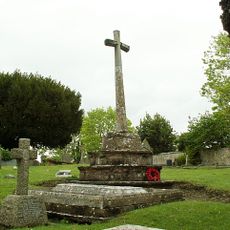
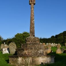
Daw's Castle, Iron Age hillfort in Watchet, England
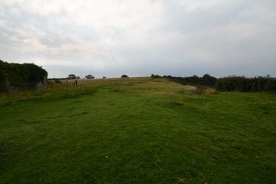
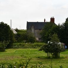
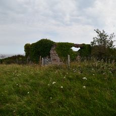
Daw's Castle is an Iron Age hillfort and later Anglo-Saxon burh on a narrow coastal spur above Watchet, in Somerset, England. The site consists of earthen banks and ditches that follow the natural shape of the headland overlooking the Bristol Channel.
The site was first used as a hillfort in the Iron Age, then King Alfred strengthened it toward the end of the 9th century as one of a series of strongholds defending the coast from Viking raids. It remained an active centre during the Anglo-Saxon period that followed.
The name Daw's Castle suggests a fortified building, but there is no stone castle here at all. What visitors find instead are grassy banks and earthworks that blend into the coastal hillside above Watchet.
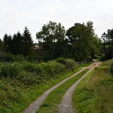
The site is reached on foot from Watchet town centre by following the South West Coast Path, which is clearly signposted. The elevated position is open to wind and rain, so sturdy footwear and weatherproof clothing are advisable.
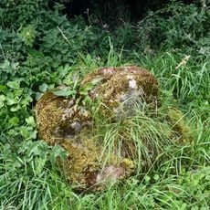
Excavations found that the defensive walls were built with mortared stone, which is very rare for fortifications of this type and period in England. This technique required specialist knowledge and points to a well-organized construction effort at the site.
The community of curious travelers
AroundUs brings together thousands of curated places, local tips, and hidden gems, enriched daily by 60,000 contributors worldwide.