
East Chinnock, village in the United Kingdom
Location: South Somerset
Part of: The Chinnocks
GPS coordinates: 50.91870,-2.71970
Latest update: March 28, 2025 11:31

Church of St Mary the Virgin, Norton Sub Hamdon
3.4 km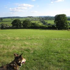
Hardington Moor
2.1 km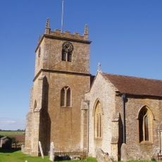
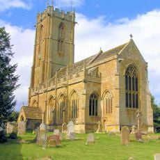
Church of Saint Martin of Tours
2.1 km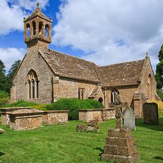
St Andrew's Church
3.1 km
Church of St Michael and All Angels
3.5 km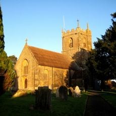
Church of St Peter and St Paul
2.3 km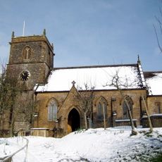
Church of Saint Mary
2.3 km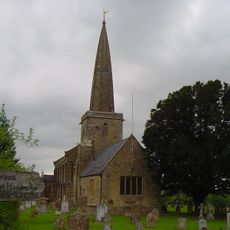
Church of St Peter and St Paul
3.1 km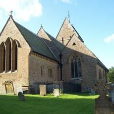
Church of Saint Mary
2.8 km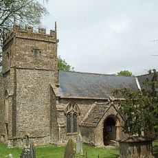
Church of Saint Margaret
2.3 km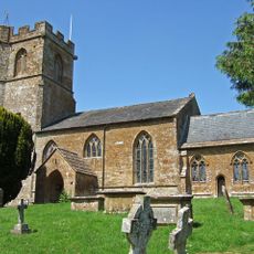
Church of Saint Mary
443 m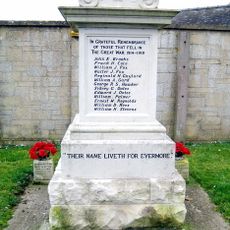
Odcombe War Memorial
2.2 km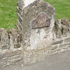
Milestone, Built Into Boundary Wall, Four Acres Hotel
2.4 km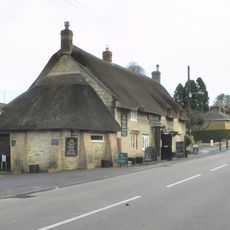
The Castle Public House
2 km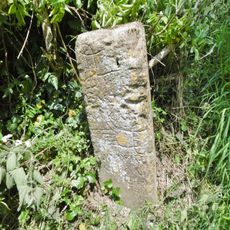
Direction stone at the junction of Smith's Hill and Smoky Hole Lane
2.2 km
Milestone, Outside The Post Office And Stores
3.5 km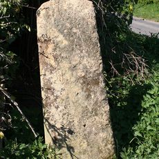
Stone At Ngr St 5082 1501
2 km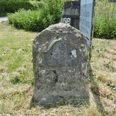
Milestone At Ngr 49151268
891 m
Milestone, 125 Metres South West Of Foxwell Lane Junction At Ngr St 47711220
2.2 km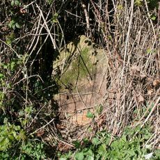
Milestone At Ngr St 4999 1611
2.7 km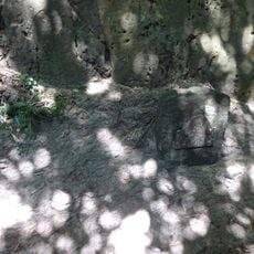
Milestone, Approximately 30M South-West Of Coker Hill Bridge
880 m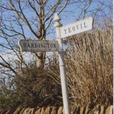
Signpost At Ngr 51871219
2.7 km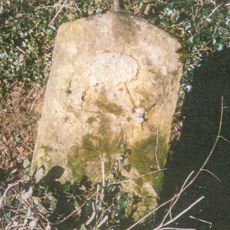
Milestone At Ngr St 5143 1573
3 km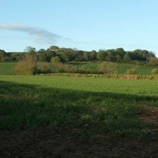
Weston House
262 m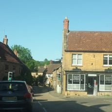
1 and 3, East Street
2.3 km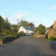
The Pinnacles
288 m
Direction stone at the junction of Foxwell Lane and the A30
2.1 km
Guidestone, Smoky Hole Lane
2.2 kmVisited this place? Tap the stars to rate it and share your experience / photos with the community! Try now! You can cancel it anytime.
Discover hidden gems everywhere you go!
From secret cafés to breathtaking viewpoints, skip the crowded tourist spots and find places that match your style. Our app makes it easy with voice search, smart filtering, route optimization, and insider tips from travelers worldwide. Download now for the complete mobile experience.

A unique approach to discovering new places❞
— Le Figaro
All the places worth exploring❞
— France Info
A tailor-made excursion in just a few clicks❞
— 20 Minutes