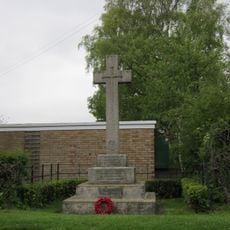
Duggleby Howe, Round barrow in Kirby Grindalythe, England.
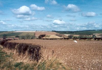
Duggleby Howe is a prehistoric earthen mound in North Yorkshire that rises about 7 meters high with a base diameter of roughly 37 meters. The structure has a flat circular platform at its summit and sits within open agricultural land.
The mound was built in the Neolithic period and was reused for burials across different phases, as excavations from the 1800s revealed. These discoveries show that this location held meaning for communities across a long span of time.
The name comes from the nearby village, and the mound itself speaks to the ritual practices of an ancient community. The shape and placement of this monument show how important this location was for burial and possibly for gatherings.
The mound sits within active farmland, so check local access details before visiting. Walking around and over the structure is possible, but always be respectful of the surrounding property and agricultural use.
Aerial photographs from the 1970s revealed a massive ring ditch surrounding the mound with a diameter of over 370 meters, invisible from ground level. This hidden structure suggests the monument was part of a much larger ceremonial complex.
The community of curious travelers
AroundUs brings together thousands of curated places, local tips, and hidden gems, enriched daily by 60,000 contributors worldwide.