Enable Location

We need your location to show you interesting places around you

Discover nearby places

Find interesting locations and hidden gems around you

Precise directions

Get accurate directions and distances to places

Your location is never shared with other users. It's only used when you tap the location button.

Eccup reservoir

Log in to your account

Start exploring — it's free

Trusted by 62,765 travelers worldwide

Continue with Google
Continue with Apple
or

We will send you a code to connect

By continuing, you accept our Terms and Conditions and our Privacy Policy

Check your inbox

We've sent a pincode in your inbox. Please enter the code below.

Eccup reservoir

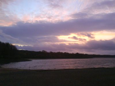
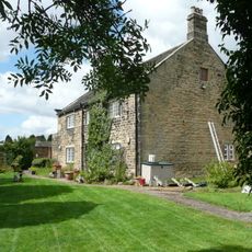
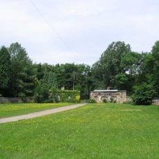
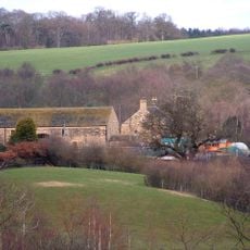
Eccup reservoir, lake in the United Kingdom

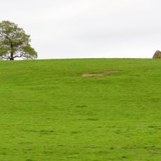
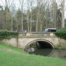
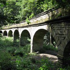
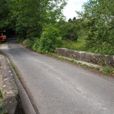
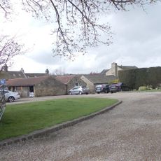
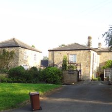
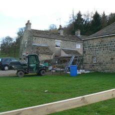
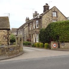
Eccup Reservoir is a large body of water in West Yorkshire surrounded by woodland and open fields. The circular walking route around it spans about 6 miles on mostly flat, well-maintained paths that pass through meadows, woods, and waterside sections filled with vegetation.

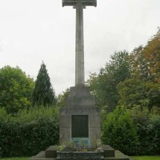
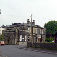
The reservoir was constructed in 1843 to supply clean water to Leeds and later expanded to store more. Archaeological evidence nearby suggests Roman settlements once occupied this land, indicating human use of the area for thousands of years.

People from Leeds come here regularly to walk, watch birds, and spend time outdoors. Families, runners, and dog walkers use this place as a peaceful retreat close to the city.

The path is flat and well-marked, making it accessible for wheelchairs and pushchairs, though some field sections may be uneven or muddy after rain. Wear sturdy shoes, and keep dogs on a lead, especially near grazing animals and ground-nesting birds.

Red kites, once near extinction, now soar freely above the water and can be spotted regularly by visitors. The rare bladder sedge grows in only a few spots nearby and rewards patient observers searching the waterside vegetation.

The community of curious travelers

AroundUs brings together thousands of curated places, local tips, and hidden gems, enriched daily by 60,000 contributors worldwide.

Start exploring
GPS coordinates
53.86889,-1.54333
Latest update
February 7, 2026 11:40
Around this place
Cranmer Bank
United Kingdom

Cranmer Bank

2.4 km
Carved rock known as the Grey Stone in Grey Stone Pasture, Harewood Park, 370m south east of New Bridge
United Kingdom

Carved rock known as the Grey Stone in Grey Stone Pasture, Harewood Park, 370m south east of New Bridge

2.1 km
Adel Reformatory
United Kingdom

Adel Reformatory

2.7 km
Church of St John the Evangelist
United Kingdom

Church of St John the Evangelist

2.3 km
Moor Allerton War Memorial
United Kingdom

Moor Allerton War Memorial

2.3 km
Moor Allerton Library
United Kingdom

Moor Allerton Library

2.6 km
New Bridge
United Kingdom

New Bridge

2.2 km
Seven Arches Aqueduct
United Kingdom

Seven Arches Aqueduct

2.6 km
Stairfoot Bridge
United Kingdom

Stairfoot Bridge

2.6 km
Adel Mill Farm House
United Kingdom

Adel Mill Farm House

2.7 km
Moorfield House And Attached Outbuildings And Walls
United Kingdom

Moorfield House And Attached Outbuildings And Walls

2.7 km
Milestone at Alwoodley Lane junction with King Lane
United Kingdom

Milestone at Alwoodley Lane junction with King Lane

1.7 km
Mount Farmhouse
United Kingdom

Mount Farmhouse

795 m
Carr House Barn
United Kingdom

Carr House Barn

2.4 km
Milestone To Front Of Number 1 Grove Cottages
United Kingdom

Milestone To Front Of Number 1 Grove Cottages

1.3 km
The Tudors and Victoria House, Adel Mill
United Kingdom

The Tudors and Victoria House, Adel Mill

2.7 km
Leeds Industrial School
United Kingdom

Leeds Industrial School

2.5 km
Herd Farmhouse
United Kingdom

Herd Farmhouse

1.2 km
Lych Gate to Church of St John the Evangelist
United Kingdom

Lych Gate to Church of St John the Evangelist

2.3 km
Moss Hall
United Kingdom

Moss Hall

764 m
King Lane Farmhouse
United Kingdom

King Lane Farmhouse

1.8 km
Alwoodley Lodges, Gates And Flanking Walls
United Kingdom

Alwoodley Lodges, Gates And Flanking Walls

1.3 km
Guidestone, Five Lane Ends, Eccup, jct  Eccup Lane/King Lane
United Kingdom

Guidestone, Five Lane Ends, Eccup, jct Eccup Lane/King Lane

2.2 km
Walls And Gate Piers To Adel Mill Housing Complex
United Kingdom

Walls And Gate Piers To Adel Mill Housing Complex

2.7 km
Smithy Close To South End Of Barn At Herd Farm
United Kingdom

Smithy Close To South End Of Barn At Herd Farm

1.1 km
Barn Immediately North West Of Herd Farmhouse
United Kingdom

Barn Immediately North West Of Herd Farmhouse

1.1 km
Milestone Approximately 250 Metres North Of Wikefield Farm
United Kingdom

Milestone Approximately 250 Metres North Of Wikefield Farm

2.2 km
Cart Shed Immediately North Of Adel Mill Farmhouse
United Kingdom

Cart Shed Immediately North Of Adel Mill Farmhouse

2.6 km
Show the full map
« Eccup reservoir - lake in the United Kingdom » is provided by Around Us (aroundus.com). Images and texts are derived from Wikimedia project under a Creative Commons license. You are allowed to copy, distribute, and modify copies of this page, under the conditions set by the license, as long as this note is clearly visible.

Discover hidden gems everywhere you go!

From secret cafés to breathtaking viewpoints, skip the crowded tourist spots and find places that match your style. Our app makes it easy with voice search, smart filtering, route optimization, and insider tips from travelers worldwide. Download now for the complete mobile experience.

Around Us App Screenshot

A unique approach to discovering new places

Le Figaro

All the places worth exploring

France Info

A tailor-made excursion in just a few clicks

20 Minutes

Around Us
Travel Guide & Maps
Download

Send to your phone

QR Code
1

Open the camera app on your mobile.

2

Point at the QR code with your camera. A notification will appear.

3

Tap the notification to open the link.