
Farnsfield CP, village in the United Kingdom
Location: Newark and Sherwood
GPS coordinates: 53.10271,-1.03711
Latest update: March 10, 2025 02:57
Church of St. Mary of the Purification, Blidworth
6.1 km
All Saints' Church
3.8 km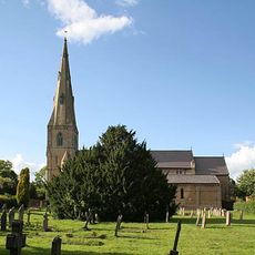
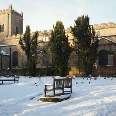
Holy Trinity Church, Southwell
6 km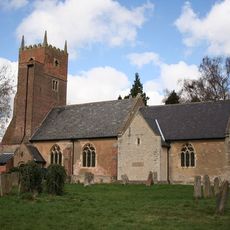
St Swithun's Church, Kirklington
3.5 km
St Michael the Archangel's Church, Halam
3.6 km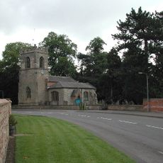
St Peter & St Paul's Church, Oxton
5.4 km
St Michael's Church, Farnsfield
96 m
St Giles' Church, Edingley
2.1 km
Church of St Margaret
3.8 km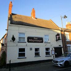
Wheatsheaf Inn
6.2 km
Saracen's Head Hotel
6.1 km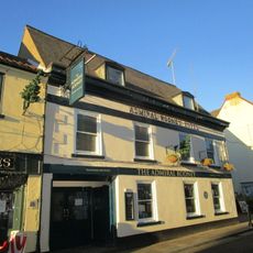
Admiral Rodney Hotel
6.1 km
Farnsfield War Memorial
74 m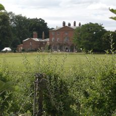
Norwood Park And The West Wing
4.6 km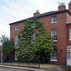
Regency House
6.1 km
Milestone To Left Of Carriage Arch At Saracen's Head Inn
6.1 km
63, King Street
6.2 km
2, Westgate
6.1 km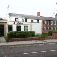
National Westminster Bank
6.2 km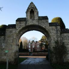
Gateway And Flanking Walls At Minster Churchyard
6.1 km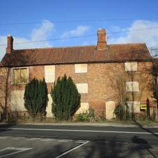
Ivy Farmhouse And Cottage
3.4 km
Sacrista Prebend
6.1 km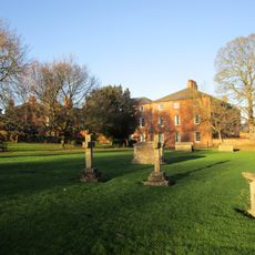
Old Grammar School
6.2 km
Rampton Prebend
6.1 km
Barn And Adjoining Stable Opposite
5.1 km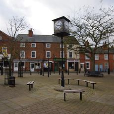
Southwell Sports And Leisure
6.2 km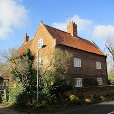
Highfield Farmhouse
3.2 km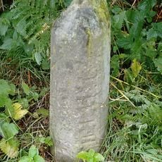
Milestone, by Cottage Farm, W of A614 roundabout
2.5 kmReviews
Visited this place? Tap the stars to rate it and share your experience / photos with the community! Try now! You can cancel it anytime.
Discover hidden gems everywhere you go!
From secret cafés to breathtaking viewpoints, skip the crowded tourist spots and find places that match your style. Our app makes it easy with voice search, smart filtering, route optimization, and insider tips from travelers worldwide. Download now for the complete mobile experience.

A unique approach to discovering new places❞
— Le Figaro
All the places worth exploring❞
— France Info
A tailor-made excursion in just a few clicks❞
— 20 Minutes