Enable Location

We need your location to show you interesting places around you

Discover nearby places

Find interesting locations and hidden gems around you

Precise directions

Get accurate directions and distances to places

Your location is never shared with other users. It's only used when you tap the location button.

Log in to your account

Start exploring — it's free

Trusted by 61,381 travelers worldwide

Continue with Google
Continue with Apple
or

We will send you a code to connect

By continuing, you accept our Terms and Conditions and our Privacy Policy

Check your inbox

We've sent a pincode in your inbox. Please enter the code below.

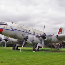
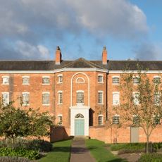
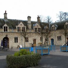
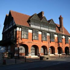
Newark and Sherwood, Administrative district in Nottinghamshire, England

Description

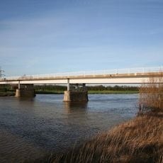
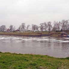
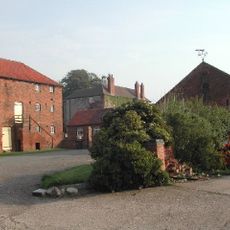
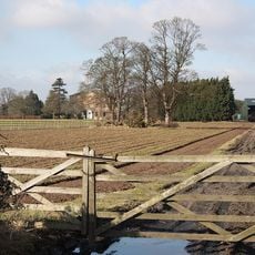
Newark and Sherwood is an administrative district spanning a substantial area across Nottinghamshire that combines different landscape types. The terrain moves from the Trent valley through rolling countryside to sandy uplands, and includes several towns, villages, and rural settlements across its extent.

History

The district took its current form in 1974 when several smaller municipal areas were merged to create a larger local authority. This reorganization was part of a nationwide administrative reform that affected many other parts of England.

Culture

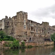
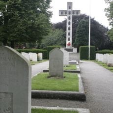
The area was once a major battleground during the English Civil War, and locals and visitors alike come to understand this conflict through the stories embedded in the landscape. This history shapes how people relate to the places around them, from the town centers to the countryside.

Practical

The area is accessible through several established road routes that connect different parts of the district and make travel between settlements straightforward. Visitors should plan flexible journeys when exploring different sections, as the distances between centers can be considerable.

Did you know?

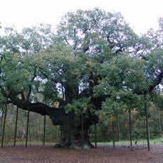
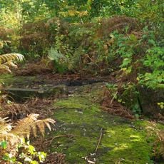
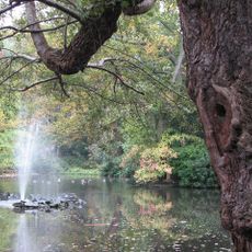
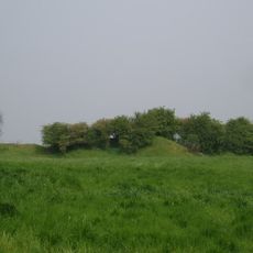
The area contains remnants of the legendary Sherwood Forest, though the original oak woodlands were eventually replaced by extensive pine plantations over time. This transformation happened gradually and significantly altered the forest's appearance and character from what many people associate with this famous woodland.

Location
Inception
April 1, 1974
Capital city
Kelham
GPS coordinates
53.10000,-0.95000
Latest update
December 8, 2025 13:43

AroundUs brings together thousands of curated places, local tips, and hidden gems, enriched daily by 60,000 contributors worldwide. Discover all places nearby (Nottinghamshire).

« Newark and Sherwood - Administrative district in Nottinghamshire, England » is provided by Around Us (aroundus.com). Images and texts are derived from Wikimedia project under a Creative Commons license. You are allowed to copy, distribute, and modify copies of this page, under the conditions set by the license, as long as this note is clearly visible.

Discover hidden gems everywhere you go!

From secret cafés to breathtaking viewpoints, skip the crowded tourist spots and find places that match your style. Our app makes it easy with voice search, smart filtering, route optimization, and insider tips from travelers worldwide. Download now for the complete mobile experience.

Around Us App Screenshot

A unique approach to discovering new places

Le Figaro

All the places worth exploring

France Info

A tailor-made excursion in just a few clicks

20 Minutes

Around Us
Travel Guide & Maps
Download

Send to your phone

QR Code
1

Open the camera app on your mobile.

2

Point at the QR code with your camera. A notification will appear.

3

Tap the notification to open the link.