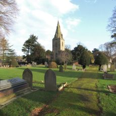
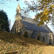
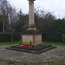
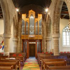
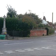
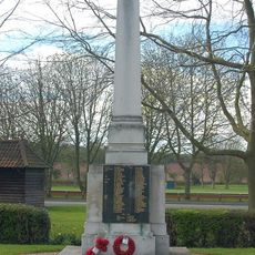
Shelford Priory, Augustinian monastery in Shelford, England
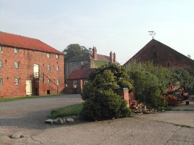
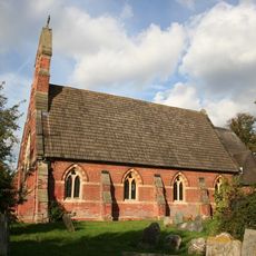
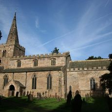
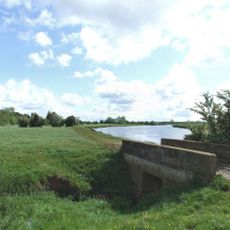
Shelford Priory was an Augustinian monastery located on the south bank of the River Trent, consisting of multiple buildings dedicated to religious services and agricultural operations. The complex spread across a substantial property with outbuildings for farming, residential quarters for monks, and a church serving as the center of religious life.
Ralph Haunselyn founded the priory between 1160 and 1180, and it was closed during Henry VIII's dissolutions in 1536. The transformation of the religious site marked the end of an important spiritual institution in the region.
The priory maintained religious relics including the reported girdle of the Virgin Mary and oil from the True Cross.
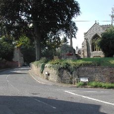
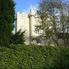
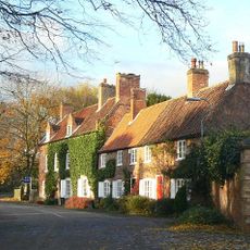
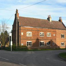
Visitors should be aware that little remains of the original complex today, with remnants scattered across the site. Getting oriented beforehand helps in exploring the various locations and archaeological remains effectively.
King Edward II visited the site twice during his reign, demonstrating its significance for the royal family. These visits in 1317 and 1319 are recorded in historical documents.
Location: Shelford
Inception: 12 century
GPS coordinates: 52.98408,-1.00000
Latest update: December 14, 2025 09:45
Gunthorpe Bridge
877 m
St Michael's Church, Hoveringham
4.1 km
St Mary's Church, Lowdham
3.5 km
St Helen's Church, Burton Joyce
2.5 km
St Peter's Church, East Bridgford
1.9 km
St. Peter and St. Paul's Church, Shelford
1.5 km
Holy Trinity Church, Bulcote
2.1 km
St Luke's Church, Stoke Bardolph
3.2 km
St Aidan's Church, Caythorpe
2.6 km
United Reformed Church, Burton Joyce
2.8 km
Gunthorpe Lock
1.6 km
St John's Parish Church
1.3 km
Burton Joyce War Memorial
2.7 km
Spire Top One And A Half Metres West Of South Aisle At Church Of St Helen
2.5 km
Shelford War Memorial
1.7 km
Stable Block At Walnut House
1.8 km
Lowdham War Memorial
2.7 km
East Bridgford War Memorial Cross
1.9 km
Burton Joyce Library
2.4 km
Coach House At Kingswood
2.1 km
The Hall
1.2 km
Footbridge Over Stream Approximately 100 Metres South East Of 28 St Helens Road
2.5 km
Bulcote Corporation Model Farm
1.5 km
Ivy House
2 km
Burton Joyce Methodist Church And Adjoining School Room And Boundary Wall
2.4 km
Kingwood And Adjacent Pump
2.1 km
Farm Buildings At Mulberry Close
2.6 km
King's Barn
1.8 kmVisited this place? Tap the stars to rate it and share your experience / photos with the community! Try now! You can cancel it anytime.
Discover hidden gems everywhere you go!
From secret cafés to breathtaking viewpoints, skip the crowded tourist spots and find places that match your style. Our app makes it easy with voice search, smart filtering, route optimization, and insider tips from travelers worldwide. Download now for the complete mobile experience.
A unique approach to discovering new places❞
— Le Figaro
All the places worth exploring❞
— France Info
A tailor-made excursion in just a few clicks❞
— 20 Minutes