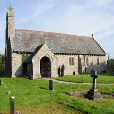
Epynt Way, Long-distance walking path in Powys, Wales
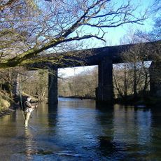
The Epynt Way is a long-distance walking path that circles the Sennybridge Training Area on the edge of a high plateau featuring moorland and deep valleys. The route offers multiple sections to explore, including several shorter circular options alongside the main trail.
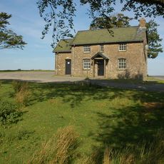
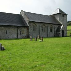
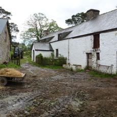
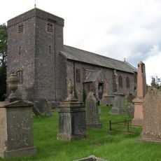
The area was home to Welsh-speaking hill farmers until 1940, when the War Department acquired the land for military training purposes. This transformation turned the region from worked farmland into an active training ground that continues to operate today.
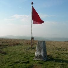
The name Epynt comes from Welsh and refers to a place where horses once roamed, connecting the landscape to the region's tradition of breeding Welsh Cobs. Visitors can still sense this pastoral heritage in the open moorlands that define the area today.
The path is marked with posts and directional signs at junctions, making it straightforward to navigate the route. Visitors should come prepared for changing weather, as the high plateau and open moorland can shift quickly between sun and rain.
The trail circles an active military training ground, meaning the landscape remains in use for exercises and maneuvers today. This proximity to ongoing military activity creates an unusual blend of wild countryside and present-day security operations.
The community of curious travelers
AroundUs brings together thousands of curated places, local tips, and hidden gems, enriched daily by 60,000 contributors worldwide.