
Gilmorton, village and civil parish in Leicestershire, United Kingdom
Location: Harborough
Shares border with: Peatling Parva
Website: http://gilmorton.leicestershireparishcouncils.org
GPS coordinates: 52.48610,-1.15833
Latest update: March 6, 2025 02:46

Kilworth House
5.4 km
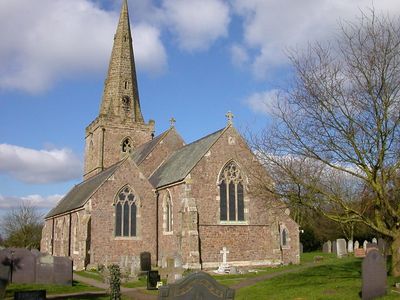
Church of St Mary
4.6 km
Town Hall
4.4 km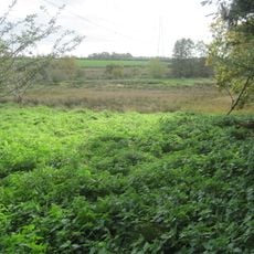
Misterton Marshes
3.2 km
St Mary's Church, Ashby Magna
2.7 km
St Mary's Church, Bruntingthorpe
3.4 km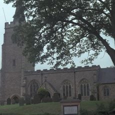
St Mary's Church, Bitteswell
4.1 km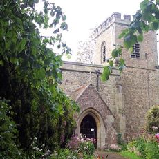
St Peter's Church, Ashby Parva
4.7 km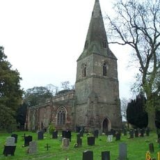
Church of St Leonard
4.2 km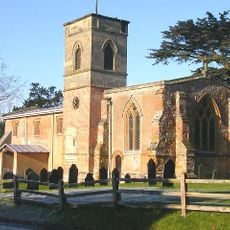
Church of St Mary
6.4 km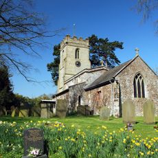
Church of St Andrew
2.4 km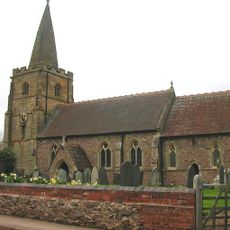
Church of St Peter
5.1 km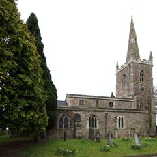
Church of All Saints
3.6 km
Church of All Saints
239 m
Wycliffe Memorial
4.4 km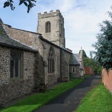
Church of St Mary
4.6 km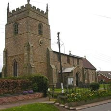
Church of All Saints
1.9 km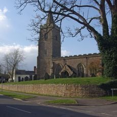
Church of St Mary
4.1 km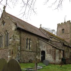
Church of St Mary
2.7 km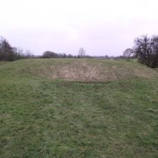
Motte, moat and fishponds west of All Saints Church
320 m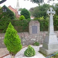
War Memorial
3.6 km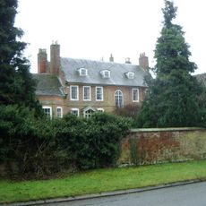
Cotesbach Hall
6.5 km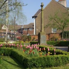
Lutterworth War Memorial Cross, Walls and Shelter
4.5 km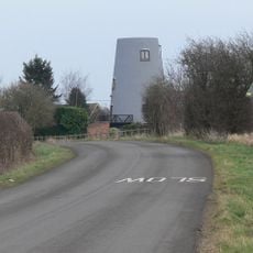
Gilmorton Mill
657 m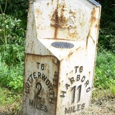
Milepost, Opposite Junction Of Lane To Gilmorton
4.1 km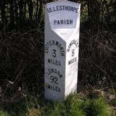
Milepost, opp. Milestone Cottage & Normanton House Farm, E of Ullesthorpe
6 km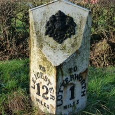
Milepost, Riddlesdon Farm, Leicester Road
3.1 km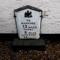
Milepost, wall of "The Springs"
4.6 kmVisited this place? Tap the stars to rate it and share your experience / photos with the community! Try now! You can cancel it anytime.
Discover hidden gems everywhere you go!
From secret cafés to breathtaking viewpoints, skip the crowded tourist spots and find places that match your style. Our app makes it easy with voice search, smart filtering, route optimization, and insider tips from travelers worldwide. Download now for the complete mobile experience.

A unique approach to discovering new places❞
— Le Figaro
All the places worth exploring❞
— France Info
A tailor-made excursion in just a few clicks❞
— 20 Minutes