
Grafton Underwood, village and civil parish in Northamptonshire, United Kingdom
Location: North Northamptonshire
GPS coordinates: 52.41470,-0.64140
Latest update: April 15, 2025 00:48
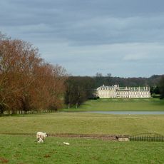
Boughton House
2.7 km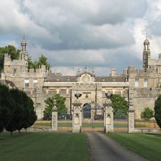
Drayton House
4 km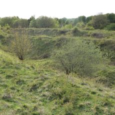
Twywell Hills and Dales
3.5 km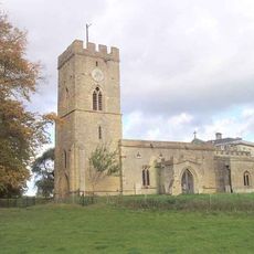
St Andrew's Church, Cranford
3.2 km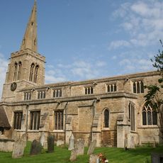
Church of St Mary Magdalen
3.9 km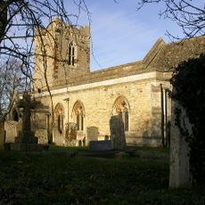
Church of St John
3.4 km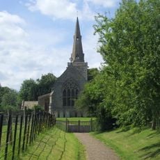
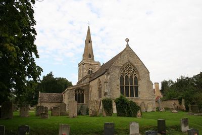
Church of St James
408 m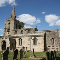
Church of St Mary, Weekley
3.7 km
Church of St Edmund, Warkton
3.3 km
Church of St Nicholas
3.5 km
Church of St John the Baptist
3 km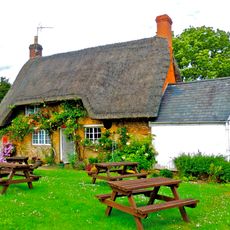
Post Office
3.8 km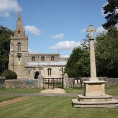
Weekley War Memorial
3.7 km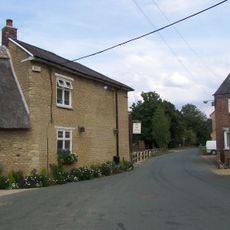
The Old Friar Public House
3.7 km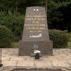
384th Bombardment Group USAAF Memorial, Grafton Underwood
738 m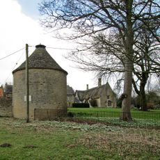
Dovecote At Dairy Farm
3.2 km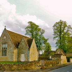
Village Hall
3.2 km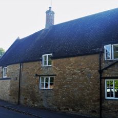
6, Grafton Road
3.9 km
2, Grafton Road
3.9 km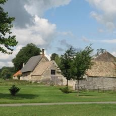
House Approximately 130 Metres South West Of Drayton House
3.8 km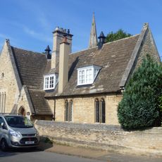
School And Attached Wall
3.9 km
17, Grafton Road
3.7 km
Church Farmhouse
3.9 km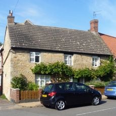
1, Wood Street
3.9 km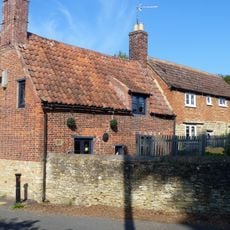
19 And 21, Grafton Road
3.7 km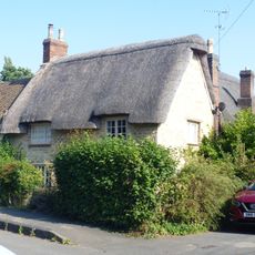
3, Queen Street
3.9 km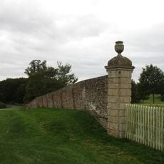
Boundary Wall To North Of Boughton Park, Fronting Road
3.1 km
Montagu Hospital
3.7 kmReviews
Visited this place? Tap the stars to rate it and share your experience / photos with the community! Try now! You can cancel it anytime.
Discover hidden gems everywhere you go!
From secret cafés to breathtaking viewpoints, skip the crowded tourist spots and find places that match your style. Our app makes it easy with voice search, smart filtering, route optimization, and insider tips from travelers worldwide. Download now for the complete mobile experience.

A unique approach to discovering new places❞
— Le Figaro
All the places worth exploring❞
— France Info
A tailor-made excursion in just a few clicks❞
— 20 Minutes