Gosford and Water Eaton, civil parish in Cherwell, Oxfordshire, England
Location: Cherwell
Shares border with: Kidlington, Yarnton, Wytham, Oxford, Elsfield, Woodeaton, Islip
GPS coordinates: 51.80000,-1.27000
Latest update: March 8, 2025 15:23
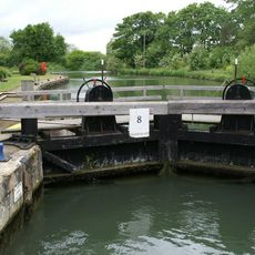
King's Lock
2.8 km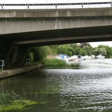
A34 Road Bridge
3.1 km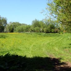
Wolvercote Meadows
2.7 km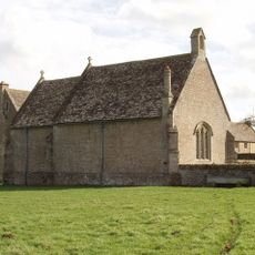
Chapel At Water Eaton Manor House
1.3 km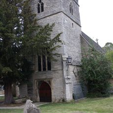
Church of St Peter
1.8 km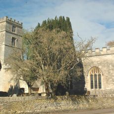
Church of St Bartholomew
2.7 km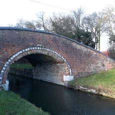
Oxford Canal Towpath Bridge At Duke's Cut Lock
1.9 km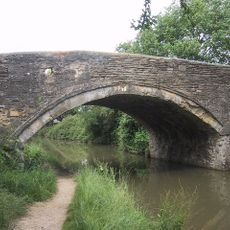
Bridge 227, Oxford Canal
2.6 km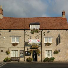
The White Hart Public House
2.4 km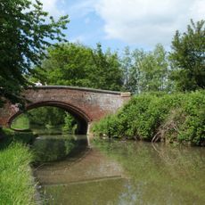
Oxford Canal Bridge Number 236 (Wolvercote Green)
2.1 km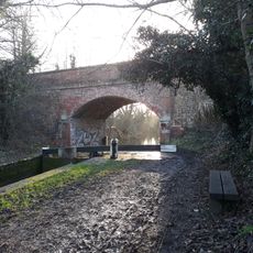
Oxford Canal Bridge Number 235 (Godstow Road Bridge)
2 km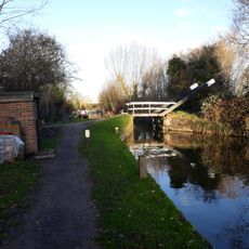
Oxford Canal Tilting Bridge Approximately 650 Metres South East Of Duke's Cut
1.9 km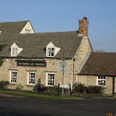
The Grapes Inn
2.2 km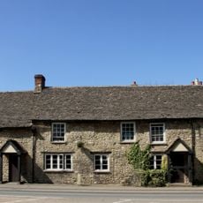
Kings Arms Public House And Attached Mounting Block
2 km
Toll Bridge
2.8 km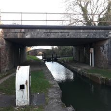
Duke's Cut Railway Bridge
1.9 km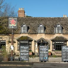
Red Lion Public House
2.4 km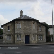
566, Banbury Road
749 m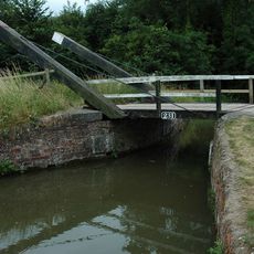
Drinkwater's Lift Bridge
1.6 km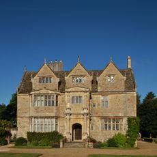
Manor House
1.3 km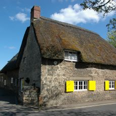
Nunnery
2.6 km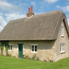
Quainton's Cottage
2.3 km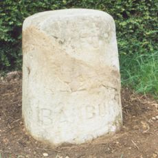
Stone In Banbury Road Outside Number 423
1.2 km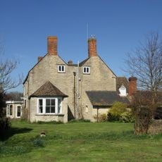
Northfield Farmhouse
2.1 km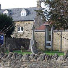
Wolvercote War Memorial
1.9 km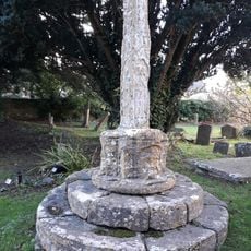
Base And Shaft Of Churchyard Cross Approximately 16 Metres South South East Of South Porch Of Church Of St Bartholomew
2.7 km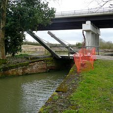
Oxford Canal Bridge 233
1.8 km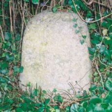
Stone in Woodstock Road outside Number 385
1.7 kmVisited this place? Tap the stars to rate it and share your experience / photos with the community! Try now! You can cancel it anytime.
Discover hidden gems everywhere you go!
From secret cafés to breathtaking viewpoints, skip the crowded tourist spots and find places that match your style. Our app makes it easy with voice search, smart filtering, route optimization, and insider tips from travelers worldwide. Download now for the complete mobile experience.

A unique approach to discovering new places❞
— Le Figaro
All the places worth exploring❞
— France Info
A tailor-made excursion in just a few clicks❞
— 20 Minutes