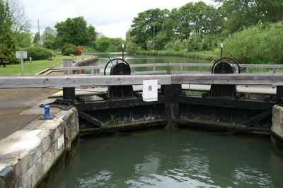
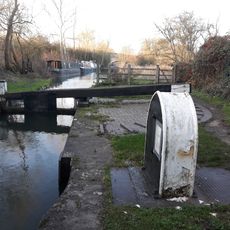
King's Lock, Navigation lock in Oxfordshire, England
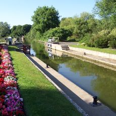
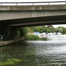
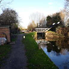
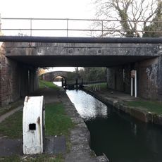
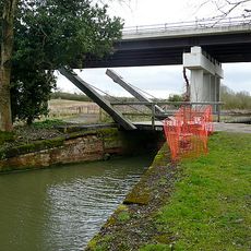
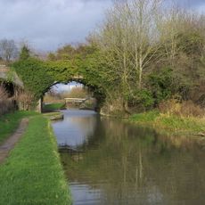
King's Lock is a navigation lock on the southern bank of the River Thames, positioned between Eynsham Lock upstream and Godstow Lock downstream. The structure includes a footbridge connecting both riverbanks and manages water flow along this section of the river.
The site originally had a weir from the 16th century until Thames Conservancy built the current lock structure in 1928. This modernization was part of a broader upgrade to the Thames lock system to improve river navigation.
The name comes from Kingisweire, where 'kin' referred to livestock, reflecting how farming shaped this riverside area. This linguistic origin shows how closely early communities depended on the land around them.
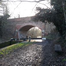
Access is via a tarmacked path from Godstow Road that passes under the A34 Oxford bypass and is easy to walk along. The paved surface makes the route practical and safe regardless of weather conditions.
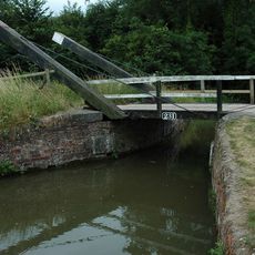
The lock building was constructed using experimental methods including recycled car tires as foundations and straw bales in the walls. This unusual construction shows an early attempt to reduce environmental impact.
The community of curious travelers
AroundUs brings together thousands of curated places, local tips, and hidden gems, enriched daily by 60,000 contributors worldwide.