Oxfordshire, Ceremonial county in South East England, GB
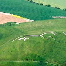
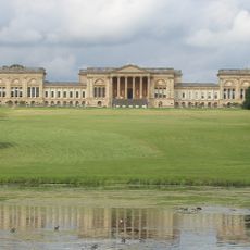
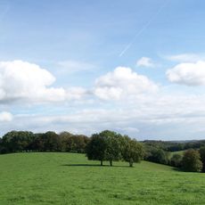
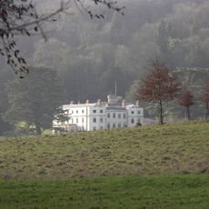
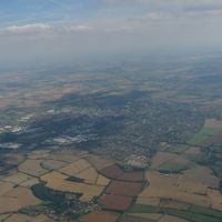
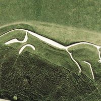
Oxfordshire is a ceremonial and non-metropolitan county in South East England, covering an area that includes three protected landscapes: the Cotswolds, the North Wessex Downs, and the Chiltern Hills. The terrain shifts between rolling hills, broad valleys, and low-lying meadows shaped by the course of the Thames and its tributaries.
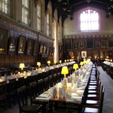
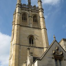
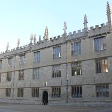
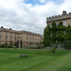
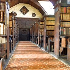
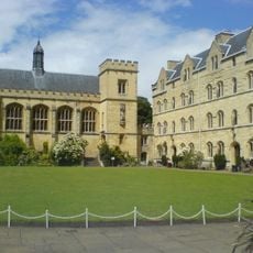
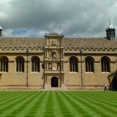
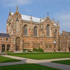
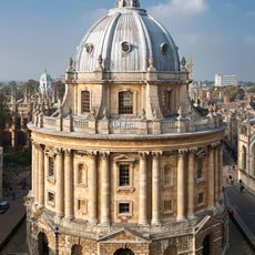
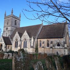
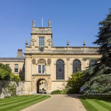
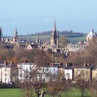
The county took shape in the 10th century, when the boundaries emerged from the consolidation of Anglo-Saxon kingdoms. Oxford itself grew from an 8th-century settlement and became home to a university founded around 1096, drawing scholars from across Europe.
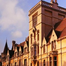
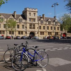
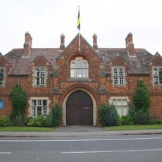
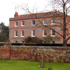
Throughout the villages and market towns, local produce appears regularly at farmers' markets, and traditional crafts such as stone masonry and woodworking continue to shape the built environment. University life influences daily routines across the region, with college events, academic traditions, and student activity creating a rhythm that visitors encounter in cafes, bookshops, and public spaces.
The county is divided into five districts: Oxford City, Cherwell, Vale of White Horse, West Oxfordshire, and South Oxfordshire, each with its own administrative center. Travelers will find different landscapes and settlements in each area, with buses and trains connecting most larger towns.
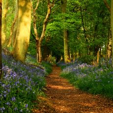
The Thames Path runs through the county, following the river for many kilometers across rural areas, small villages, and meadowlands. At several points, old mills and locks remain visible, offering insight into how waterways were once managed and used for local industry.
The community of curious travelers
AroundUs brings together thousands of curated places, local tips, and hidden gems, enriched daily by 60,000 contributors worldwide.